
Knorrendorf, municipality of Germany
Location: Mecklenburgische Seenplatte District
Elevation above the sea: 58 m
Website: http://stavenhagen.de
GPS coordinates: 53.63333,13.06667
Latest update: April 13, 2025 19:43

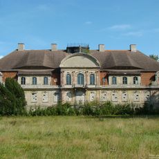
Gut Tützpatz
11.1 km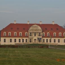
Manor house in Gützkow (Röckwitz)
10.5 km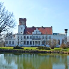
Schloss Wrodow
7.8 km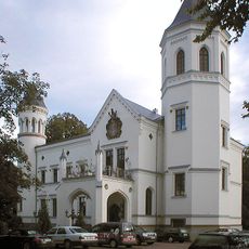
Schloss Bredenfelde
8.3 km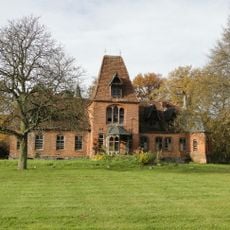
Pinnow House
5.4 km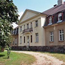
Indianermuseum Gevezin
8.2 km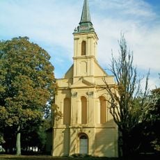
Schlosskirche Ivenack
11.2 km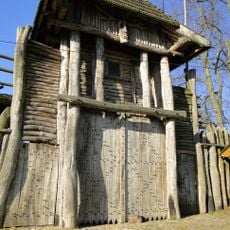
Slawendorf Passentin
10.7 km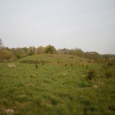
Mörderberg
11.7 km
Chemnitz church
8.2 km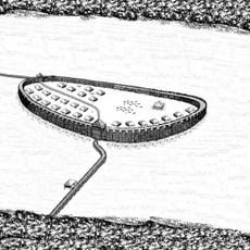
Burgwallinsel Kastorfer See
2.2 km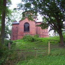
Burgberg Wolde
5 km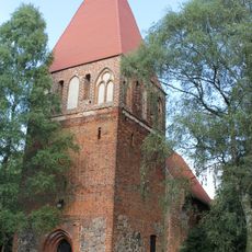
Church in Gross Varchow
10.6 km
Church in Wildberg
4.2 km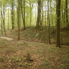
Burgwall Wildberg (Kastorfer See)
2.7 km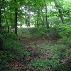
Burgwall Schossow
9.4 km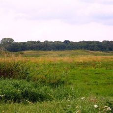
Burgwall Mölln
4.2 km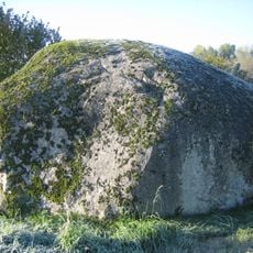
Krappmühlenstein
11.4 km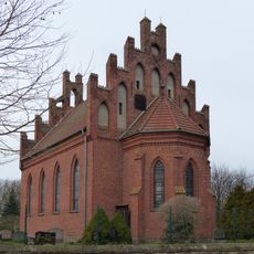
Church in Reinberg
6.9 km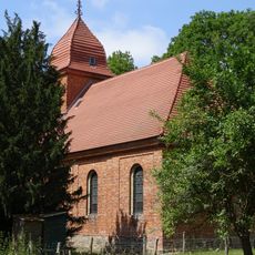
Dorfkirche Borgfeld (Kriesow)
9.2 km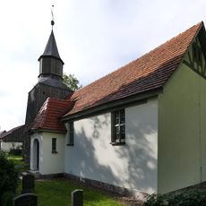
Church in Lebbin (Groß Teetzleben)
11 km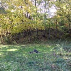
Burgwall Kastorf
2.6 km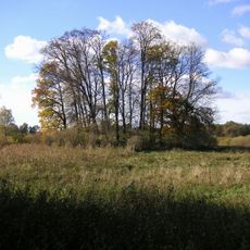
Burgwall Gädebehn
2.6 km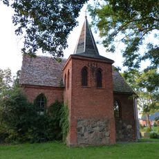
Kirche Barkow (Pripsleben)
10.9 km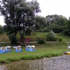
Burgwall Tüzen
10.2 km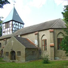
Kirche Tützpatz
11.3 km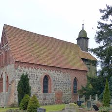
Church in Wolkow
7.1 km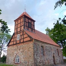
Kirche Pripsleben
12 kmReviews
Visited this place? Tap the stars to rate it and share your experience / photos with the community! Try now! You can cancel it anytime.
Discover hidden gems everywhere you go!
From secret cafés to breathtaking viewpoints, skip the crowded tourist spots and find places that match your style. Our app makes it easy with voice search, smart filtering, route optimization, and insider tips from travelers worldwide. Download now for the complete mobile experience.

A unique approach to discovering new places❞
— Le Figaro
All the places worth exploring❞
— France Info
A tailor-made excursion in just a few clicks❞
— 20 Minutes