
Hohndorf, municipality of Germany
Location: Erzgebirgskreis
Elevation above the sea: 363 m
Website: https://hohndorf.com
GPS coordinates: 50.74611,12.66917
Latest update: March 11, 2025 03:29

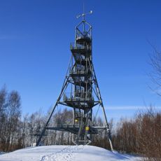
Glückaufturm
2.6 km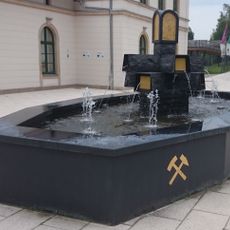
Brunnen „Schwarzes Gold“
2.2 km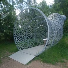
Wonderhorn
2.6 km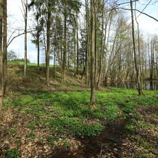
Feuchtbiotop Hartensteiner Straße in Lichtenstein
2.6 km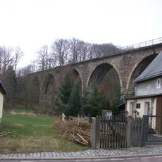
Viadukt Rödlitzbachtal Rödlitz
738 m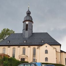
Christuskirche Oeslnitz/Erzgeb.
3.2 km
Obelisk
1.8 km
Hauptstraße 13, Hohndorf
341 m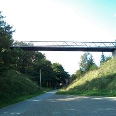
Tunnelbrücke (Oelsnitz/Erzgeb.)
2.7 km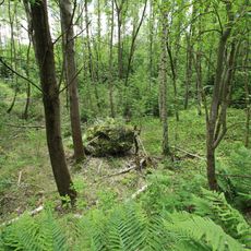
Orchideen-Standort Rudolf-Breitscheidschacht
1.4 km
8 Winterlinden
1.9 km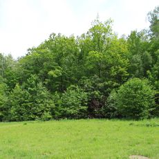
Steinkohlenhalde (sog. Ida-Halde)
1.6 km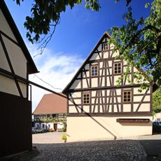
Hauptstraße 10, Hohndorf
97 m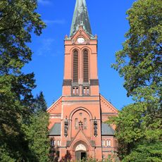
Lutherkirche
304 m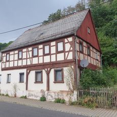
Wohnhaus (Umgebinde) in offener Bebauung Rudolf-Breitscheid-Straße 16
3.2 km
Plutoschacht (Sachgesamtheit)
2 km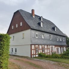
Kirchplatz 4
3.3 km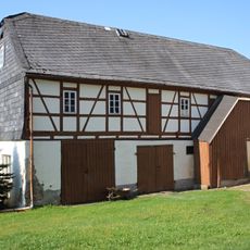
Seitengebäude eines ehemaligen Vierseithofes Hauptstraße 16
190 m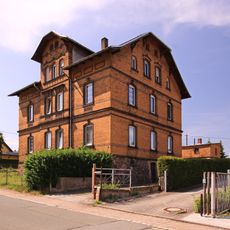
Obere Angerstraße 16
764 m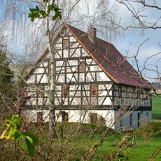
Poststraße 14
954 m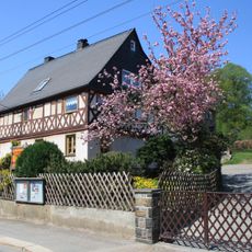
Wohnhaus eines Bauernhofes Rödlitzer Straße 23
615 m
Fleischerberg 21
1.9 km
Feldflurbiotop „Bauerwald“ Rödlitz
1.9 km
Viadukt Hegebachtal; Eisenbahnstrecke Stollberg – St. Egidien
3.2 km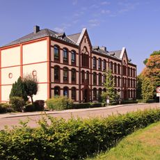
School building Hauptstraße 18
244 m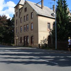
Mietshaus Hauptstraße 4
246 m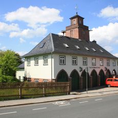
Feuerwache mit Turm Hauptstraße 14b
113 m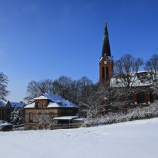
Kirche (mit Ausstattung) sowie Leichenhalle mit Friedhofsverwaltung (siehe auch Sachgesamtheitsliste - ID 09301606) Hauptstraße 13b
304 mReviews
Visited this place? Tap the stars to rate it and share your experience / photos with the community! Try now! You can cancel it anytime.
Discover hidden gems everywhere you go!
From secret cafés to breathtaking viewpoints, skip the crowded tourist spots and find places that match your style. Our app makes it easy with voice search, smart filtering, route optimization, and insider tips from travelers worldwide. Download now for the complete mobile experience.

A unique approach to discovering new places❞
— Le Figaro
All the places worth exploring❞
— France Info
A tailor-made excursion in just a few clicks❞
— 20 Minutes