
Königsbach-Stein, municipality in Germany
Location: Enz
Location: Kämpfelbachtal GVV
Elevation above the sea: 177 m
Website: https://koenigsbach-stein.de
GPS coordinates: 48.96639,8.60889
Latest update: March 6, 2025 12:34


Schloss Bauschlott
8.1 km
Deutsches Schutzengelmuseum
10.6 kmIndianermuseum Derenburg
9.9 km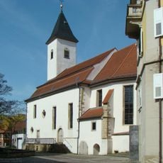
Kreuzkirche
10.5 km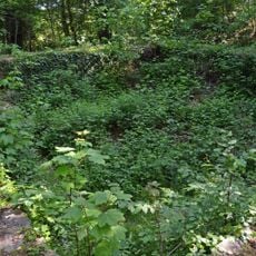
Burg Salzhofen
9.7 km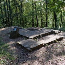
Burg Kleinsteinbach
3.6 km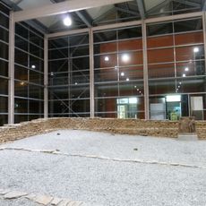
Roman Museum Remchingen
4 km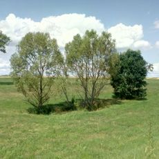
Neulinger Dolinen
8.5 km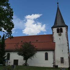
Wallfahrtskirche Johannes der Täufer
1.9 km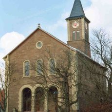
Evangelische Kirche
8.4 km
Ersinger Springenhalde
4.2 km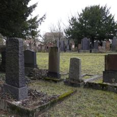
Jüdischer Friedhof Bretten
10.3 km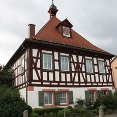
Altes Rathaus (Wössingen)
4.9 km
Town hall of Königsbach-Stein
328 m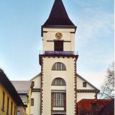
Evangelische Kirche (Wössingen)
5.1 km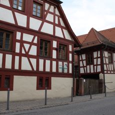
Fränkisches Gehöft (Wössingen)
4.9 km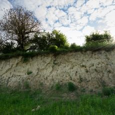
Lehmgrube am Heulenberg
5.7 km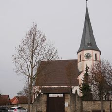
Evangelische Kirche Göbrichen
7 km
Beim Steiner Mittelberg
3.9 km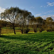
Remchingen - Mittleres Pfinztal
3.8 km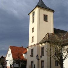
Alte Kirche Wilferdingen
3.4 km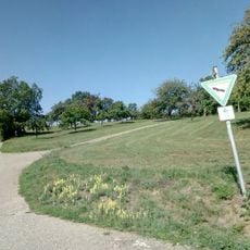
Brettener Kraichgau (Lohnwald und Talbachniederung Neibsheim, Kuckucksberg und Aspe Büchig, Waldwingert Bauerbach, Großmulte Gölshausen, Weinberg Dürrenbüchig, Sprantal und Salzachtal Ruit)
9.4 km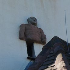
Herkulesfragment
5.4 km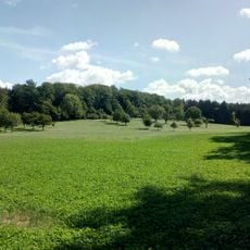
Wössinger Waldwiesen
5.2 km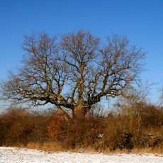
Russen-Eiche
6.8 km
Eisinger Loch (2 Dolinen)
7.1 km
Eponarelief
467 m
Schweizer Hof
10.6 kmVisited this place? Tap the stars to rate it and share your experience / photos with the community! Try now! You can cancel it anytime.
Discover hidden gems everywhere you go!
From secret cafés to breathtaking viewpoints, skip the crowded tourist spots and find places that match your style. Our app makes it easy with voice search, smart filtering, route optimization, and insider tips from travelers worldwide. Download now for the complete mobile experience.

A unique approach to discovering new places❞
— Le Figaro
All the places worth exploring❞
— France Info
A tailor-made excursion in just a few clicks❞
— 20 Minutes