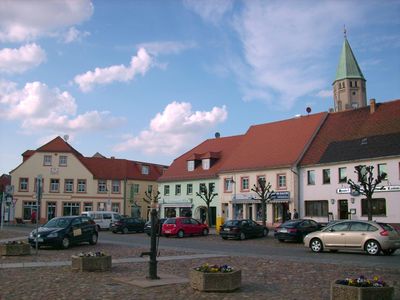
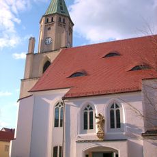
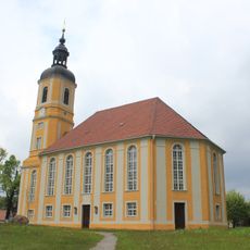
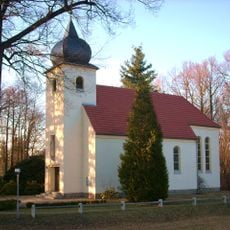
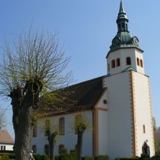
Wittichenau, Administrative division in Bautzen district, Saxony, Germany
Description
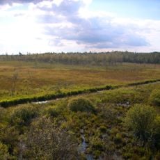
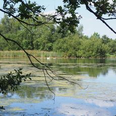
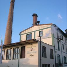
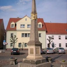
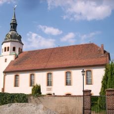
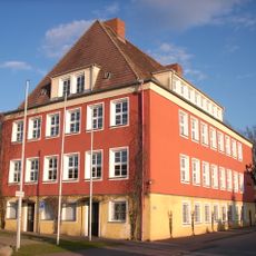
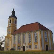
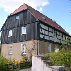
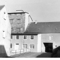
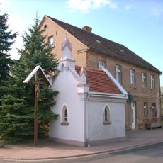
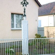
Wittichenau is an administrative division in Saxony's Bautzen region, centered around the Schwarze Elster river and its surrounding landscape. The municipality comprises several neighborhoods and settlements spread across a gently rolling terrain shaped by local geography and development.
History
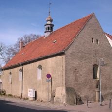
The region was part of the Bohemian Crown until territorial changes in the early 17th century brought it under Saxony's control. This shift redirected the area's political and cultural development for centuries to come.
Culture
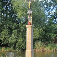
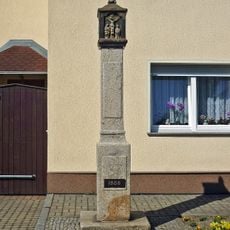
The town carries a dual linguistic heritage, with both German and Upper Sorbian spoken in daily life and woven into its local character. This linguistic blend shapes how residents and visitors experience the place.
Practical
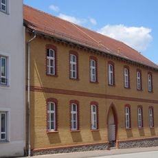
The municipality provides visitors access to local services and information through its central administrative office. When exploring the various neighborhoods that make up the area, it helps to allow time for travel between settlements and to check local transportation options beforehand.
Did you know?
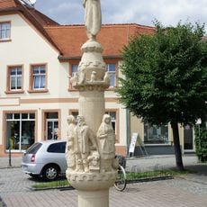
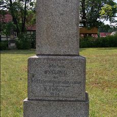
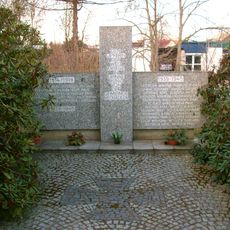
A local scholar created the first printed Sorbian language dictionary in this area during the late 17th century. This early work of language documentation gave the place a notable role in preserving and recording this linguistic heritage.
AroundUs brings together thousands of curated places, local tips, and hidden gems, enriched daily by 60,000 contributors worldwide. Discover all places nearby (Wittichenau - Kulow).
Pfarrkirche Wittichenau
105 m
Dubringer Moor
3.4 km
Kirche Oßling
6.1 km
Wollschank und Zschark
6.3 km
Kreuzkirche Wittichenau
248 m
Bildstock August-Bebel-Straße 6
210 m
Krabat column
33 m
Denkmal für die Gefallenen des Ersten Weltkrieges Kamenzer Straße (vor dem Friedhof)
322 m
Stadtbrauerei Wittichenau; Brauerei mit Schornstein Haschkestraße 33
182 m
Postmeilensäule in Wittichenau
35 m
Kirche Groß Särchen
4.9 km
Evangelische Pfarrkirche Wittichenau
319 m
Krabat-Grundschule
228 m
Betkreuz am Teich in Neudorf-Klösterlich
1.9 km
Kirche mit Kirchhof und Einfriedung, darin eingemauertes Mord- und Sühnekreuz, Gedenkstein für die Gefallenen des Ersten Weltkrieges und fünf Grabmale Kirchweg
6.1 km
Bildstock in Brischko, Nr. 13
1.4 km
Station 1 Oßling
6 km
Grenzstein (an Kreuzung nördlicher Ortsausgang in Richtung Lindenweg)
4.4 km
Kantorat Kirchweg 2
6.1 km
Tagespflege St. Hedwig; Krankenhaus Kamenzer Straße 32
205 m
Gedenkstätte für die Opfer der Weltkriege Neue Straße, auf dem Friedhof
5 km
Kobermühle Wittichenau
626 m
Grenzstein bei Keula 89 (Ecke Elsterweg)
452 m
Elsteraue 3 Dörgenhausen
3.7 km
Christus-König-Kapelle
3.6 km
Hosker Mühle
2.6 km
Dubringer Moor
3.9 km
Evangelische Pfarrkirche mit Kirchhof, Denkmal für die Gefallenen des Ersten Weltkrieges sowie Einfriedungsmauer mit acht vorgelagerten Linden Wittichenauer Straße
4.9 kmDiscover hidden gems everywhere you go!
From secret cafés to breathtaking viewpoints, skip the crowded tourist spots and find places that match your style. Our app makes it easy with voice search, smart filtering, route optimization, and insider tips from travelers worldwide. Download now for the complete mobile experience.
A unique approach to discovering new places❞
— Le Figaro
All the places worth exploring❞
— France Info
A tailor-made excursion in just a few clicks❞
— 20 Minutes