Machern, Administrative division in Saxony, Germany.
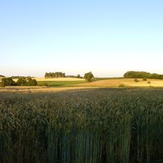
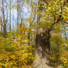
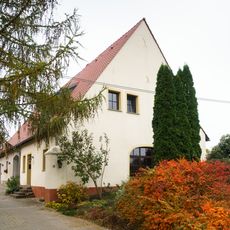
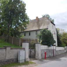
Machern is a municipal district in Saxony that serves as a local governance entity managing public infrastructure and community services for the region. The area encompasses several villages and rural spaces where traditional living patterns blend with modern municipal functions.
Machern's administrative structure emerged from Saxony's medieval feudal organization and was shaped through different periods of German regional governance. Over centuries, the territory underwent several transformations that formed the system of today.
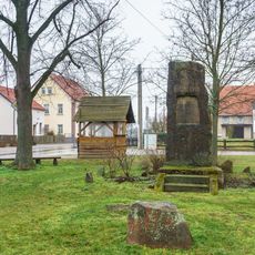
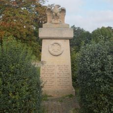
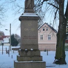
The community comes together through traditional Saxon celebrations and local gatherings that mark the rhythm of shared life. These occasions connect residents and showcase the regional customs that shape daily interactions.
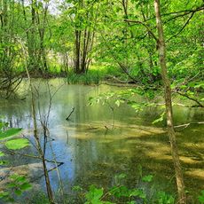
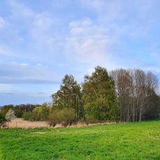
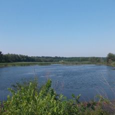
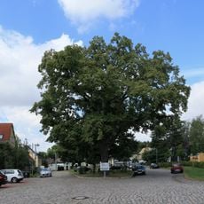
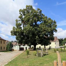
Visitors will find an agricultural area with manageable traffic and straightforward accessibility between village centers. The warmer months offer the best conditions for exploring rural paths and local areas at a comfortable pace.
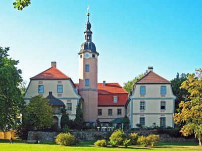
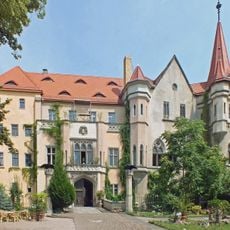
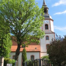
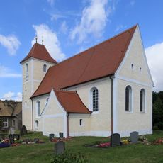
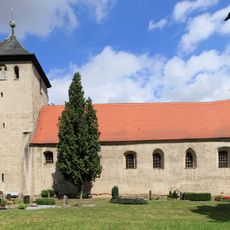
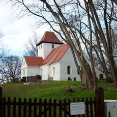
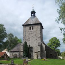
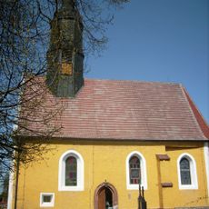
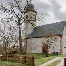
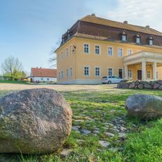
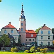
A medieval castle stands within this territory and has survived to the present day as an important witness to regional history. The structure attracts history enthusiasts and shapes the historical character of the place.
GPS coordinates: 51.39928,12.65093
Latest update: December 8, 2025 13:40
Schloss Püchau
145 m
Kirche Machern
4.6 km
Peterskirche
39 m
Kirche Gerichshain
6.8 km
Dorfkirche Weltewitz
6.6 km
Pond on the Black Road
5.5 km
Quellgebiet Plagwitzer Weg
3.4 km
Endmoränenlandschaft zwischen Taucha und Eilenburg
6.3 km
Oak on pond Machern
4.2 km
Kirche Wöllmen
4.8 km
Lübschützer Teiche - Tresenwald
4.1 km
Bismarck-Tilia in Weltewitz
6.5 km
Dorfkirche Gostemitz
4.7 km
Kirche Pehritzsch
4.3 km
Moltke-Tilia in Weltewitz
6.6 km
Alte Schäferei
2.7 km
Kriegerdenkmal für die Gefallenen des Ersten Weltkrieges Am Teich -
3.2 km
Dorfkirche Nepperwitz
3.1 km
Church Wasewitz
2.7 km
Kriegerdenkmal Gotha
3.1 km
Manor house Gotha
3.2 km
Pfarrhaus mit Einfriedungsmauer und Toreinfahrt Ringstraße 14
4.3 km
Kriegerdenkmal für die Gefallenen des 1. Weltkrieges Hauptstraße 20 (gegenüber)
4.3 km
Sachgesamtheit Schloss und Park Machern mit folgenden Einzeldenkmalen: Schloss (Nr. 1), Orangerie (Nr. 3), sogenannte Ritterburg (mit Turm), zwei Tempel, künstliche Ruine (genannt Wilhelms Ruh), Pyramide (Mausoleum), Lindenau-Denkmal und Rittergrab
4.5 km
Wasserkraftwerk Canitz
2.3 km
Petersbrücke Püchau
23 m
Bogenbrücke mit Inschrifttafel Püchau
86 m
Wasserbrücke Canitz
2.2 kmVisited this place? Tap the stars to rate it and share your experience / photos with the community! Try now! You can cancel it anytime.
Discover hidden gems everywhere you go!
From secret cafés to breathtaking viewpoints, skip the crowded tourist spots and find places that match your style. Our app makes it easy with voice search, smart filtering, route optimization, and insider tips from travelers worldwide. Download now for the complete mobile experience.
A unique approach to discovering new places❞
— Le Figaro
All the places worth exploring❞
— France Info
A tailor-made excursion in just a few clicks❞
— 20 Minutes