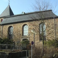
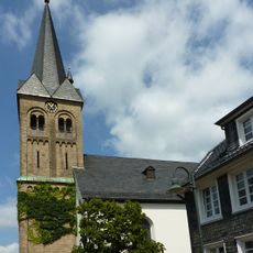
Burscheid, Municipality in Rhein-Berg District, Germany.
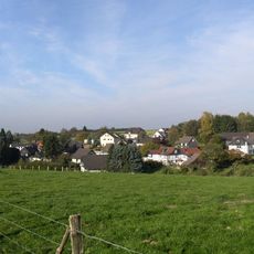
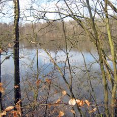
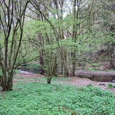
Burscheid is a municipality in the Rhein-Berg District in North Rhine-Westphalia located at roughly 195 meters above sea level. The town covers about 27 square kilometers and is made up of several smaller settlements that together form the municipality.
The area grew during the 19th and 20th centuries because of industrial activity, especially with the establishment of factories and production facilities. This development shaped the town as it is today and its role in the region.
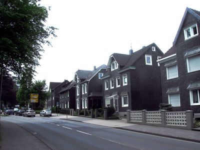
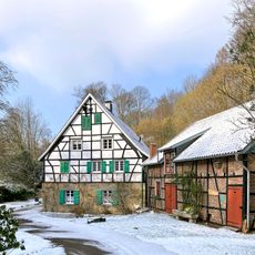
The name Burscheid comes from early settlers who established themselves in this region. The town's character is shaped by residential neighborhoods clustered together, reflecting how people have organized their lives here.
You can reach the area by car via the A1 Autobahn and Federal Highway 51, both well-developed routes. Public buses run regularly and connect this town to nearby cities.
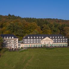
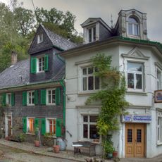
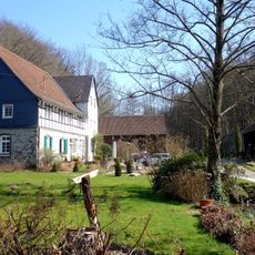
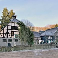
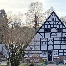
Haus Landscheid is a manor house from 1731 that was transformed into a hotel and restaurant after years of abandonment. The building shows how older structures here have been preserved and given new life.
Location: Rhein-Berg District
Elevation above the sea: 195 m
Shares border with: Wermelskirchen, Leichlingen, Leverkusen, Bergisch Neukirchen
Website: https://burscheid.de
GPS coordinates: 51.08556,7.11361
Latest update: December 13, 2025 16:28
Diepentaler Talsperre
3.3 km
Schloss Haniel
4 km
Sender Witzhelden
3.8 km
Eifgenburg
2.4 km
Annakapelle
4.5 km
Dhünntal und Linnefetal mit Seitentälern
3.8 km
Evangelische Kirche Witzhelden
3.4 km
Lambertsmühle
628 m
Bruchermühle
4.1 km
Evangelische Kirche (Burscheid)
163 m
St. Engelbert
3.7 km
Eifgenbachtal und Seitentäler
3.6 km
Dürscheider Mühle
2.3 km
Thielenmühle
975 m
Hilgener Ziegeleiloch
3.7 km
Eifgenbach und Seitentäler
2.5 km
Grünscheider Mühle
2.8 kmHöhscheider Bachtal
2.5 kmGrünscheider Bach
4.3 kmHerkensiefen
1.4 kmWiembachtal und Seitensiefen
1.3 kmBorrighauser Mühle
2.7 km
St. Laurentius
607 mLSG-Burscheid - Oberwietsche <temporaer>
2.2 kmLSG-Talhaenge zu den Seitensiefen zum Eifgenbach suedlich Kaltenherberg bis Eichenplaetzchen
2.2 kmLSG-Talsperre Diepenthal mit Wochenendhausgebiet
3.6 kmLSG-Oestlich Burscheid-Duerscheid <temporaer>
2.4 kmLSG-Wiesentaelchen suedlich Witzhelden-Altenbach und Oberer Frauensiepen bei Dorffeld
3 kmVisited this place? Tap the stars to rate it and share your experience / photos with the community! Try now! You can cancel it anytime.
Discover hidden gems everywhere you go!
From secret cafés to breathtaking viewpoints, skip the crowded tourist spots and find places that match your style. Our app makes it easy with voice search, smart filtering, route optimization, and insider tips from travelers worldwide. Download now for the complete mobile experience.
A unique approach to discovering new places❞
— Le Figaro
All the places worth exploring❞
— France Info
A tailor-made excursion in just a few clicks❞
— 20 Minutes