Iseler, Mountain peak in Allgäu Alps, Bavaria, Germany
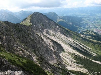
Iseler is a mountain in the Allgäu Alps reaching 1,876 meters, situated above the health resort of Bad Hindelang. The peak is crossed by hiking routes that wind through meadows and forests, offering different paths to the summit.
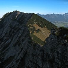
The mountain long served as a landmark and boundary between settlement areas before modern development. The installation of the chairlift in the region allowed more people to reach the high mountain areas and changed how people used the landscape.
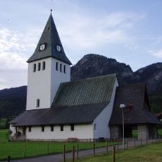
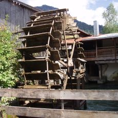
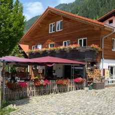
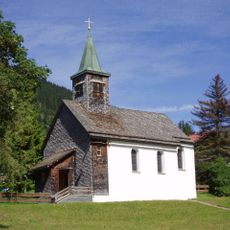
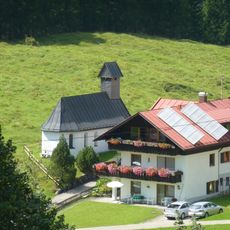
The mountain paths near Iseler connect traditional Bavarian villages where regional festivals and mountain traditions continue throughout different seasons.
The ascent is possible from several starting points, with the upper chairlift station offering a higher entry point. The trails are marked and vary in difficulty, so both beginners and experienced hikers can find suitable options.
A technical climbing route with steel cables and iron rungs provides advanced hikers with a more intense alpine experience. This option is unknown to many visitors and overlooked by those considering only standard walking paths.
Location: Bad Hindelang
Elevation above the sea: 1,876 m
Part of: Kühgundkopf
GPS coordinates: 47.49957,10.42088
Latest update: December 9, 2025 18:40
Kutschenmuseum Hinterstein
2.9 km
Kühgundkopf
913 m
Kirche Unserer lieben Frau im Ostrachtal und St. Jodokus
2.8 km
Obere Mühle
3 km
Bildkapelle bei Oberjoch
2.3 km
Basaltaufschluss an der Straße Hindelang – Oberjoch
2.4 km
Grüner Hut
2.7 km
Kapelle St. Jakob
2.2 km
Marienkapelle
2.7 km
Kapelle Bruck
3 km
Kriegergedächtniskapelle
2.8 km
Lourdeskapelle
2.8 km
Hochmoorschwimmbad
2 km
Kühgasse 2, Bad Oberdorf
2.7 km
Wohnteil eines ehemaligen Bauernhauses
2.7 km
Lange Gasse 8, Bad Oberdorf
2.7 km
Wohnhaus
2.6 km
St. Anthony
2.4 km
Wasserkraftwerk
2.9 km
Ehemaliges Bauernhaus
2.9 km
Sangenweg 3
2.4 km
Talstraße 30
2.5 km
Ehemaliges Kaplanhaus
2.4 km
Ehemaliges Terrassenhotel Alpenhof
2.8 km
Obere Hammerschmiede
2.5 km
Sühnekreuz
2.8 km
Sogenanntes Haus Hexle, 1934 ehemaliges Wohnhaus des Bergführers Wechs
2.8 km
Ehemaliges Bauernhaus
2.6 kmVisited this place? Tap the stars to rate it and share your experience / photos with the community! Try now! You can cancel it anytime.
Discover hidden gems everywhere you go!
From secret cafés to breathtaking viewpoints, skip the crowded tourist spots and find places that match your style. Our app makes it easy with voice search, smart filtering, route optimization, and insider tips from travelers worldwide. Download now for the complete mobile experience.
A unique approach to discovering new places❞
— Le Figaro
All the places worth exploring❞
— France Info
A tailor-made excursion in just a few clicks❞
— 20 Minutes