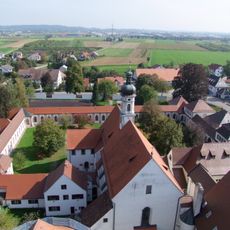
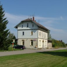
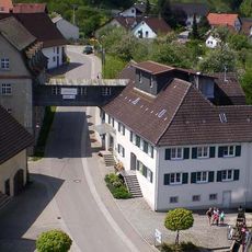
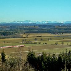
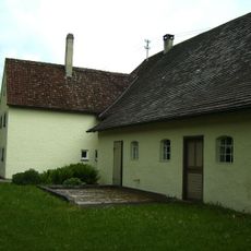
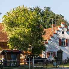
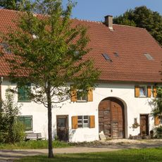
Tannheim, municipality in Baden-Württemberg, Germany
Location: Biberach district
Location: Rot-Tannheim GVV
Elevation above the sea: 585 m
Shares border with: Aitrach, Berkheim, Kirchdorf an der Iller
Website: http://gemeinde-tannheim.de
GPS coordinates: 48.00000,10.08306
Latest update: March 19, 2025 11:48
Buxheim Charterhouse
3.8 km
St. Maria
3.8 km
Pfarrkirche St. Peter und Paul
3.7 km
St. Martin
271 m
Tannheim (Württ) station
1.2 km
Dinkelmühle Graf
260 m
Ochsenhauser Pfleghof
310 m
St. Michael
2.6 km
Stausee Tannheim
2.4 km
Alter Pfarrhof
183 m
Lorettokapelle Kronwinkel
2 km
St. Petrus in Ketten
3.8 km
Buxachtalbrücke
4.1 km
Lourdesgrotte Tannheim
306 m
Pfarrkirche St. Johann Baptist (Mooshausen)
3.2 km
Keltenschanze
1.6 km
St. Urban
3.7 km
Burg Kronwinkel
2 km
Kriegerdenkmal Tannheim
256 m
Bauernhaus „St. Medardus“
163 m
Hirtenhaus
258 m
Wegkapelle Illerstraße
3.4 km
Wegkapelle
3.7 km
Ehemaliger Ziegelstadel
3.8 km
Ehemalige Klostermühle
3.7 km
Ehemaliges Bauernhaus
3.7 km
Gasthaus
3.8 km
Ehemaliges Amtshaus
3.9 kmVisited this place? Tap the stars to rate it and share your experience / photos with the community! Try now! You can cancel it anytime.
Discover hidden gems everywhere you go!
From secret cafés to breathtaking viewpoints, skip the crowded tourist spots and find places that match your style. Our app makes it easy with voice search, smart filtering, route optimization, and insider tips from travelers worldwide. Download now for the complete mobile experience.
A unique approach to discovering new places❞
— Le Figaro
All the places worth exploring❞
— France Info
A tailor-made excursion in just a few clicks❞
— 20 Minutes