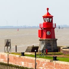
Dollart, Coastal bay between Lower Saxony, Germany and Groningen, Netherlands.
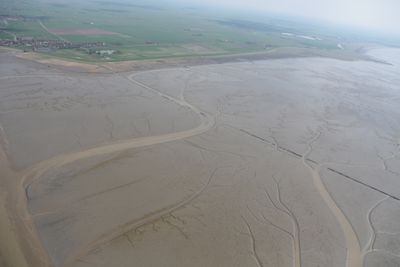
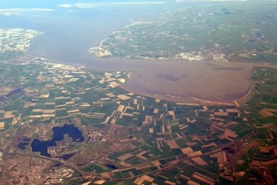
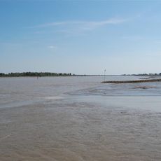
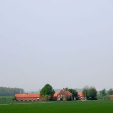
The Dollart is a bay along the German-Dutch border that reveals extensive tidal flats when the water recedes. The area is shaped by tidal movements and serves as an important refuge for birds and marine life.
The bay formed from several storm floods in the 13th century, with a particularly destructive surge in 1509 that submerged entire settlements. These dramatic events created the landscape conditions that define the area today.
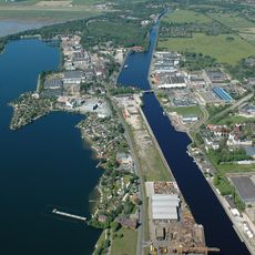
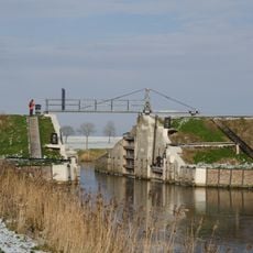
The region maintains deep connections to fishing and shellfish farming, activities that continue to shape local life today. Visitors can observe these traditions at small harbors and with local fishers going about their daily work.
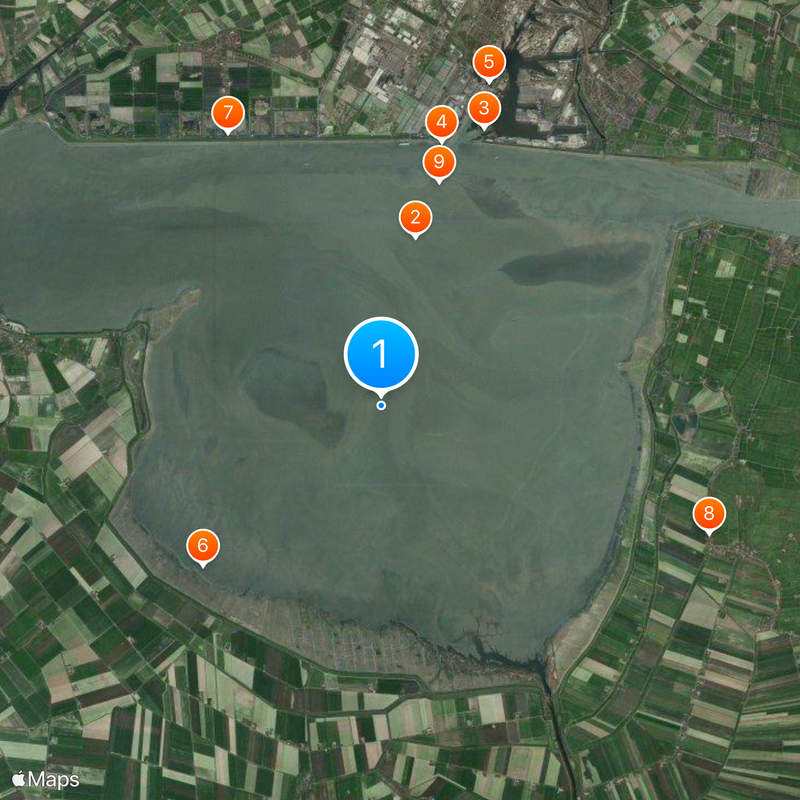
The area is best explored on foot or by bicycle, with pathways running around the bay and observation stations for birdwatchers. The best time to visit is during low tide, when more ground becomes accessible and bird spotting is more rewarding.
When the tide goes out, it is possible to walk across large sections of the bay on exposed mudflats, offering unusual nature walks on the seafloor. This experience of crossing what is normally underwater provides visitors a different perspective on the marine ecosystem.
The community of curious travelers
AroundUs brings together thousands of curated places, local tips, and hidden gems, enriched daily by 60,000 contributors worldwide.