
Amt Döbern-Land, collective municipality in Brandenburg state, Germany
Location: Spree-Neiße District
Website: http://amt-doebern-land.de
GPS coordinates: 51.61610,14.59620
Latest update: April 23, 2025 06:15
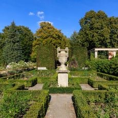
Rosengarten Forst
13.6 km
Streichelzoo
6.7 km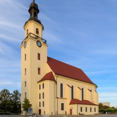
Parish church St. Nikolai (Forst in der Lausitz)
14.7 km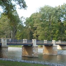
Englische Brücke
11 km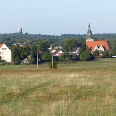
Hoher Berg
1.3 km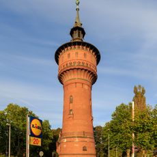
Wasserturm Forst
13.8 km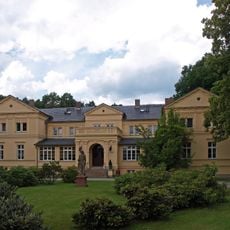
Herrenhaus Hornow
6.6 km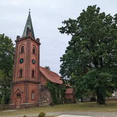
Village church Noßdorf
12 km
Stadion am Wasserturm
13.8 km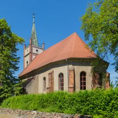
Village church Eulo
15.4 km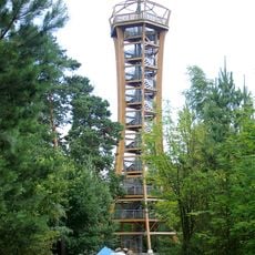
Felixsee Observation Tower
3.3 km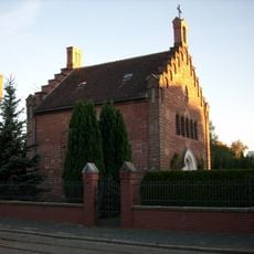
St. Marienkapelle
14.9 km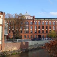
Tuchfabrik Cattien Forst
15.4 km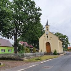
Village church Sergen
11.4 km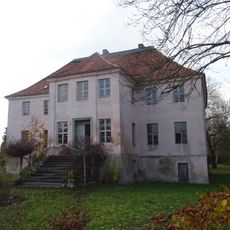
Gutshaus Groß Schacksdorf
8.5 km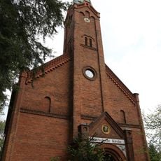
Katholische Kirche Bad Muskau
11.2 km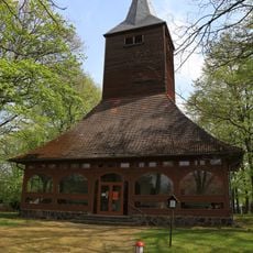
Village church Graustein
9.6 km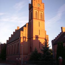
Sacred Heart church Forst
14.9 km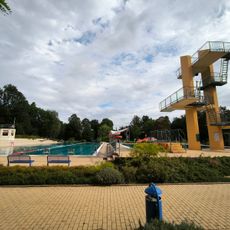
Freibad Forst
13.4 km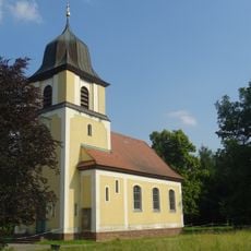
Village church Mulknitz
16.9 km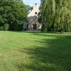
Johann-Sebastian-Bach church
13 km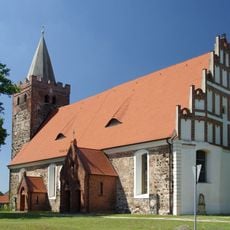
Village church Komptendorf
11.5 km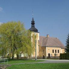
Village church Groß Schacksdorf
8.9 km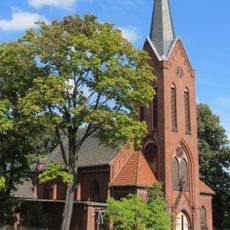
Corpus-Christi-Church Döbern
283 m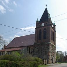
Village church Groß Kölzig
2.4 km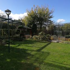
Affen-Zoo Jocksdorf e.V.
6 km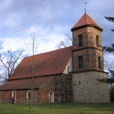
Village church Eichwege
2 km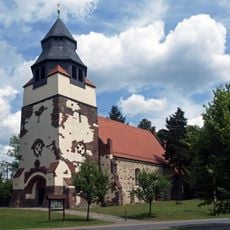
Village church Hornow
6 kmReviews
Visited this place? Tap the stars to rate it and share your experience / photos with the community! Try now! You can cancel it anytime.
Discover hidden gems everywhere you go!
From secret cafés to breathtaking viewpoints, skip the crowded tourist spots and find places that match your style. Our app makes it easy with voice search, smart filtering, route optimization, and insider tips from travelers worldwide. Download now for the complete mobile experience.

A unique approach to discovering new places❞
— Le Figaro
All the places worth exploring❞
— France Info
A tailor-made excursion in just a few clicks❞
— 20 Minutes