Hoher Berg, Hill summit in Döbern, Germany.
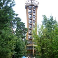
Hoher Berg is a 183.7 meter hill in Döbern and forms the highest point of the Muskauer Faltenbogen. The summit hosts a military radar facility with a 45 meter tower, which restricts public access to the peak area.
In the mid-1930s the Döbern local group of the Deutscher Luftsportverband ran a gliding field on the Hoher Berg; it had about 200 members. On 24 August 1994 the Bundeswehr took over the newly built radar tower on the summit.
The hill lies in the 1,769-hectare Wald- und Restseengebiet Döbern landscape protection area, designated in 1968, and its southeastern slopes reach the FFH and nature reserve Faltenbogen südlich Döbern. The name Muskauer Faltenbogen refers to the arc of pushed glacial deposits between Döbern and Muskau.
The summit is not accessible to visitors due to the military radar installation. However, the surrounding slopes and nearby areas offer good viewpoints and walking trails to explore the region.
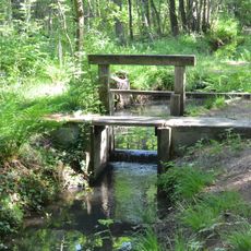
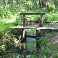
The Malxe rises on the northern foothills of the Hoher Berg. Since 1968 the hill has lain almost entirely within the 1,769-hectare Wald- und Restseengebiet Döbern landscape protection area, and the Faltenbogen nature reserve reaches its south-eastern slopes.
The community of curious travelers
AroundUs brings together thousands of curated places, local tips, and hidden gems, enriched daily by 94,645 contributors worldwide.