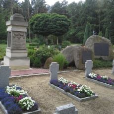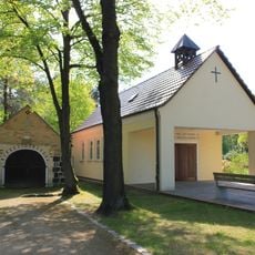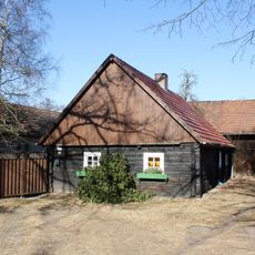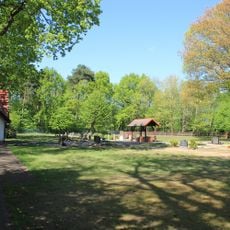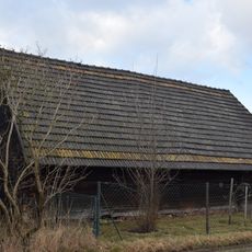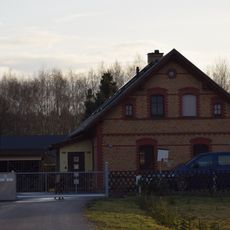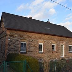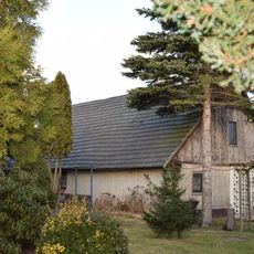
Muskau Bend Landscape Park, Cross-border landscape park in Lubusz Voivodeship, Poland and Saxony, Germany.
Muskau Bend Landscape Park is a landscape park and geopark in Lubusz Voivodeship, Poland, and Saxony, Germany, protecting a horseshoe-shaped push moraine about 40 km long and 3–5 km wide, open to the north. The Łużycka Neisse river cuts the bend into two parts. The highest point on the Polish side is an unnamed hill northeast of Żarki Wielkie at 178.8 m; another north of Nowe Czapla reaches 182.8 m. The terrain includes numerous ponds in former lignite and gravel pits.
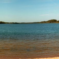
The push moraine was formed during the Elster glaciation, when an inland ice sheet up to 500 m thick compressed sand and lignite layers into a folded arc over 40 km long. Long attributed to the Saale glaciation, it was dated to the Elster ice age by later research. Lignite and clay were mined here in the 19th and 20th centuries, leaving elongated lakes in the former open-cast pits.
The German name Muskauer Faltenbogen and the Polish Łuk Mużakowa both take Muskau (Polish Mużaków) from the town at the southern edge of the arc. The Sorbian name of that town, Mužakow, is the source. The arc lies on the old border between Upper and Lower Lusatia, and the Lusatian Neisse, which divides it, is still called Nysa Łużycka in Polish.
The park offers hiking paths, cycling routes, horse trails, and kayaking opportunities on the river for exploring the area. These different activities allow visitors to experience the landscape according to their preferences and fitness level.
The bend is described as the only terminal moraine on Earth visible from space. It was formed during the Elster glaciation, not the Saale as long assumed, when ice up to 500 m thick compressed sand and lignite layers into folds up to 180 m high and 700 m wide.
The community of curious travelers
AroundUs brings together thousands of curated places, local tips, and hidden gems, enriched daily by 94,399 contributors worldwide.