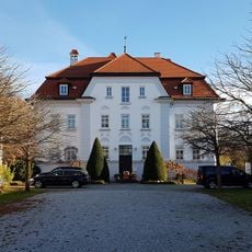
Olching, Urban municipality in Fürstenfeldbruck, Germany.
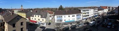
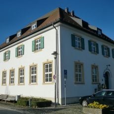
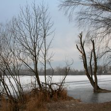
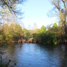
Olching is an urban municipality approximately 20 kilometers northwest of Munich, extending along the Amper River. The area is characterized by two lakes and a mix of residential zones, green spaces, and waterways that shape its physical layout.
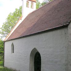
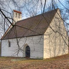
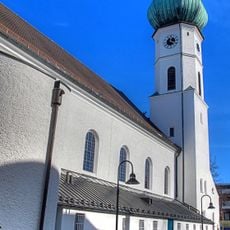
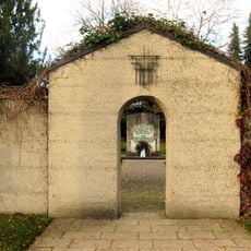
The settlement dates to 740 when Duke Tassilo II granted lands to Benediktbeuern Abbey, establishing this Bavarian community. This early ecclesiastical connection shaped development across the centuries that followed.
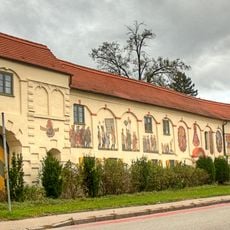
The town comes alive through celebrations that have shaped community life for generations. The Easter Fire in spring and the carnival parade are occasions when locals gather to mark seasonal changes and maintain shared traditions.
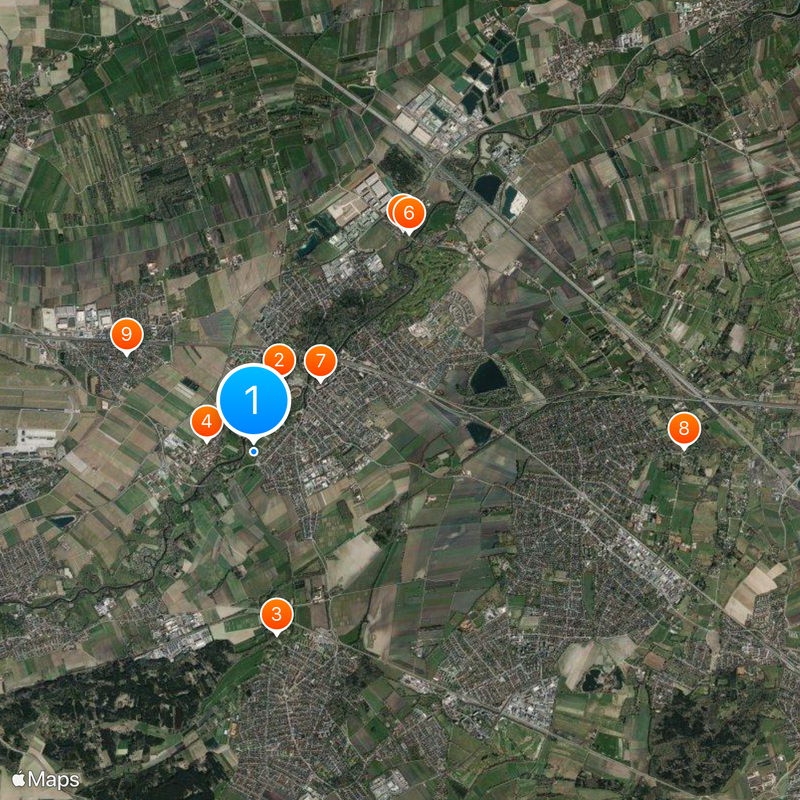
The local train station connects to Munich through the S-Bahn network operating within the MVV regional system. This link makes it straightforward to explore the area or reach the city easily.
The municipal coat of arms, officially adopted in 1951, combines symbols representing the river, agricultural traditions, and historical marshlands. This imagery tells the story of the place's natural and economic roots.
Location: Fürstenfeldbruck
Elevation above the sea: 503 m
Shares border with: Odelzhausen, Gröbenzell, Emmering
Website: https://olching.de
GPS coordinates: 48.20000,11.31667
Latest update: December 20, 2025 01:22
Olching Bird Park
979 m
Burgstall Roggenstein
2.3 km
Schloss Esting
621 m
Gutshof Stürzer
3.4 km
Schloss
3.4 km
St. Peter und Paul
1.2 km
Russenbrücke
5.5 km
Bruder Konrad
2 kmSankt Johann Nepomuk (Geiselbullach)
3.4 km
St. Stephanus
614 m
Sankt Georgs Kapelle (Roggenstein)
2.3 km
Rathausstraße 3
4.1 km
Waschhaus (Olching)
781 m
Sankt Johann Baptist
4.1 kmCultural heritage D-1-7733-0218 in Olching
797 mFußberger Moos
4 km
Graßlfinger Moos und Olchinger See
4.9 kmCultural heritage D-1-7834-0072 in München
6.5 km
Untere Amper
949 mCultural heritage D-1-7733-0039 in Olching
984 m
Ehemals Mietsvilla
1.1 kmField monument in Olching (D-1-7833-0405)
1.3 kmFriedhof Nähe Lagerstraße in Puchheim
4.8 km
Ehemals Wirtschaftsgebäude der München-Dachauer Papierfabrik
739 m
Russenfriedhof
4.8 kmCultural heritage D-1-7733-0083 in Olching
1.2 kmCultural heritage D-1-7833-0091 in Emmering (Landkreis Fürstenfeldbruck)
2.6 km
Hallenbad Puchheim
4.2 kmVisited this place? Tap the stars to rate it and share your experience / photos with the community! Try now! You can cancel it anytime.
Discover hidden gems everywhere you go!
From secret cafés to breathtaking viewpoints, skip the crowded tourist spots and find places that match your style. Our app makes it easy with voice search, smart filtering, route optimization, and insider tips from travelers worldwide. Download now for the complete mobile experience.
A unique approach to discovering new places❞
— Le Figaro
All the places worth exploring❞
— France Info
A tailor-made excursion in just a few clicks❞
— 20 Minutes