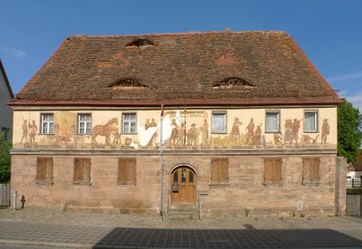
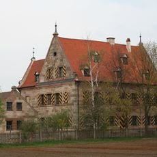
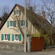
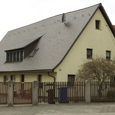
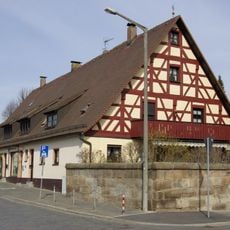
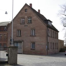
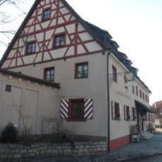
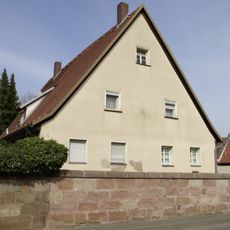
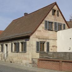
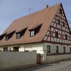
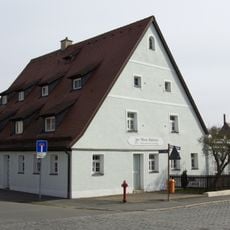
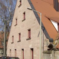
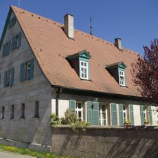
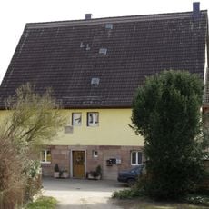
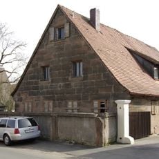
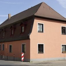
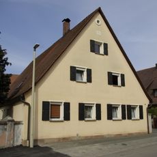
Buch, Statistical district in Nuremberg, Germany.
Buch is a statistical district in Nuremberg that encompasses several residential neighborhoods and local areas. The zone serves to organize urban data collection for the city's administrative and planning work.
This district was established as a statistical unit for Nuremberg's city planning system in 1909. Since then it has helped document the city's population and settlement development.
The district contributes to Nuremberg's data-driven governance model through regular population surveys and detailed territorial mapping initiatives.
The district is part of the city's administrative system and can be explored through public records. Information about statistical data can be found at the city's departments for urban research and planning.
The district maintains continuous elevation measurements at 305 meters above sea level, forming part of Nuremberg's geographical reference network.
The community of curious travelers
AroundUs brings together thousands of curated places, local tips, and hidden gems, enriched daily by 60,000 contributors worldwide.