Münstertal/Schwarzwald, municipality in Baden-Württemberg, Germany
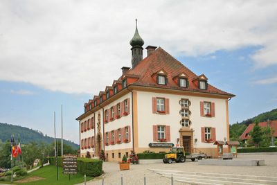
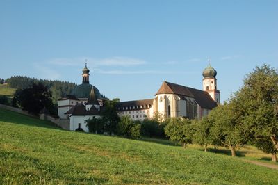
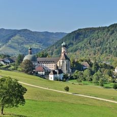
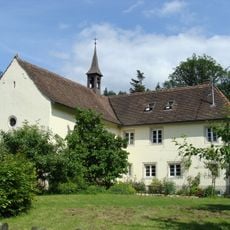
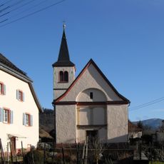
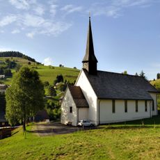
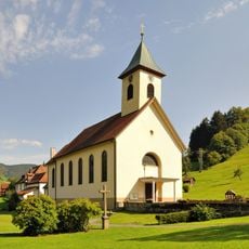
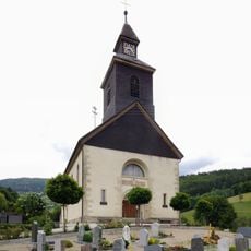
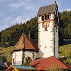
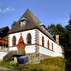
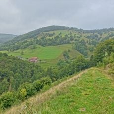
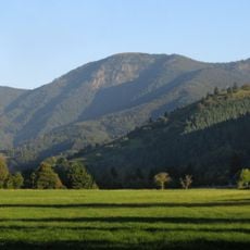
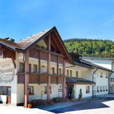
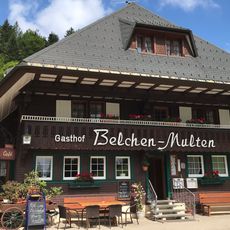
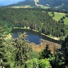
Münstertal/Schwarzwald is a municipality in the Black Forest region, spread across several villages and hamlets surrounded by forests, meadows, and rolling hills. The area follows a valley with gentle slopes and rural settlements integrated into the natural landscape.
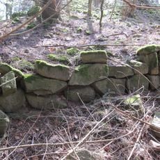
The Münstertal valley developed as a settlement area in a forested mountain region over centuries as a rural community. Its structure was shaped by local economy and the relationship with the Black Forest landscape.
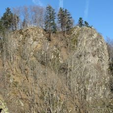
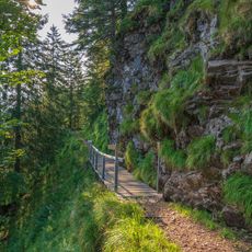
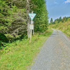
The valley offers hiking opportunities across different elevations, with accessible paths through forests and open areas. The individual villages are connected and can be explored on foot or by vehicle.
The community of curious travelers
AroundUs brings together thousands of curated places, local tips, and hidden gems, enriched daily by 60,000 contributors worldwide.