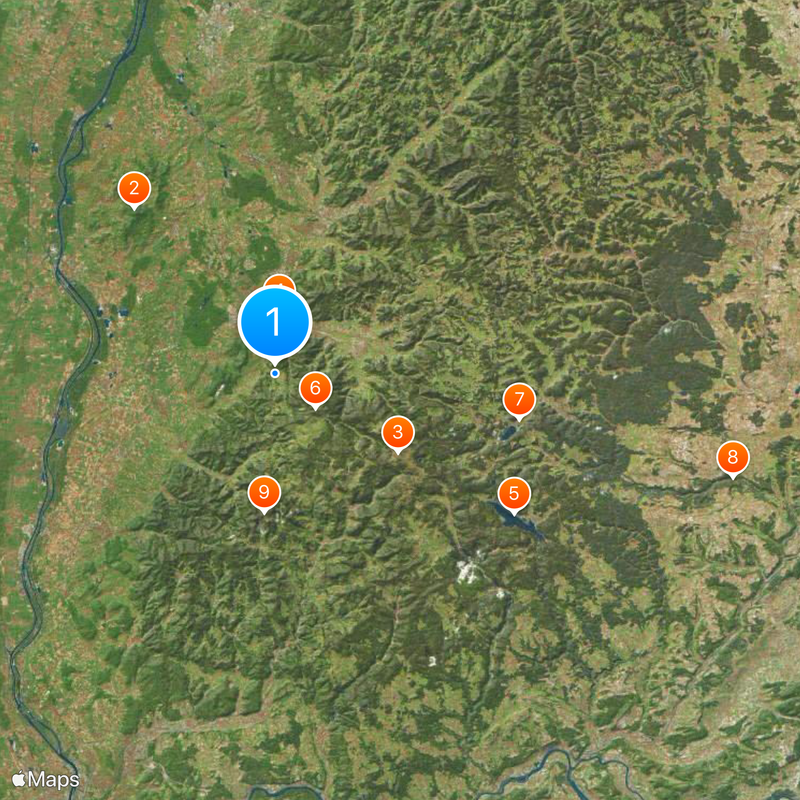
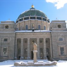
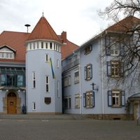
Breisgau-Hochschwarzwald, Rural district in Baden-Württemberg, Germany
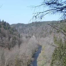
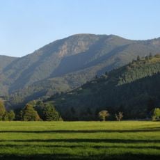
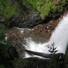
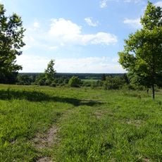
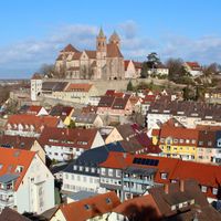
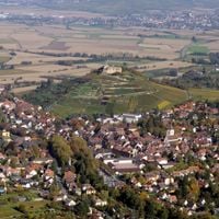
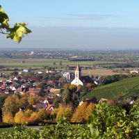
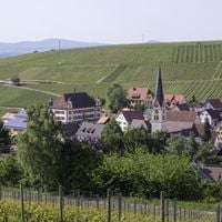
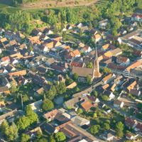
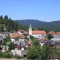
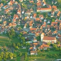
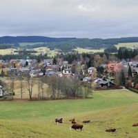
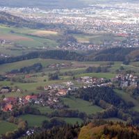
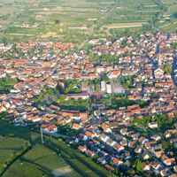
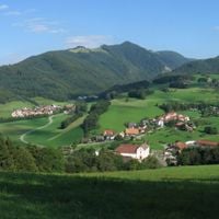
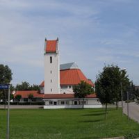
Breisgau-Hochschwarzwald is a rural district in southwest Baden-Württemberg that covers mountain ranges, valleys and vineyards between the Rhine plain and the peaks of the Black Forest. This territory includes different natural zones from the flat banks of the Rhine to forested elevations above a thousand meters.
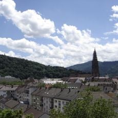
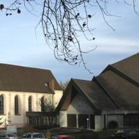
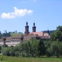
This administrative unit emerged in 1973 through the merger of the former districts Freiburg and Müllheim-Black Forest during a regional reform in Baden-Württemberg. The consolidation brought together municipalities from different geographic zones under a shared administration based in Freiburg.
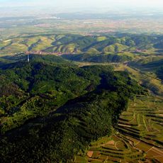
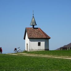
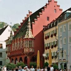
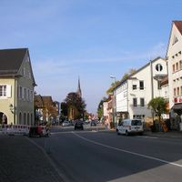
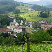
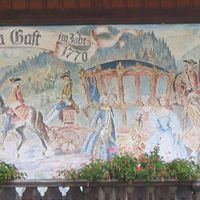
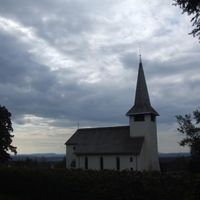
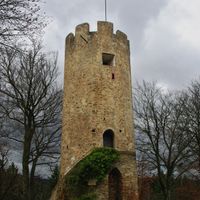
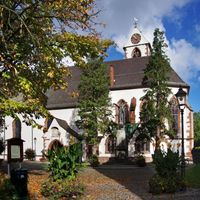
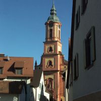
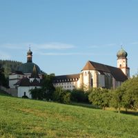
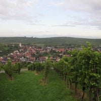
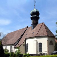
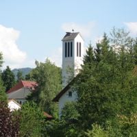
Farmers grow grapes on the western slopes and sell local Markgräfler wines in small seasonal taverns called Straußwirtschaften, where visitors can taste them directly from the producer. Many villages still display traditional Black Forest farmhouses with their low, sweeping roofs that once sheltered families and livestock under one structure.
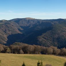
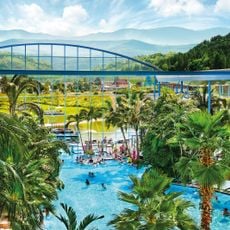
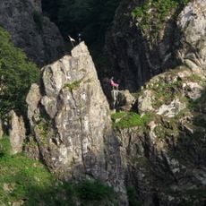
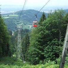
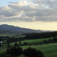
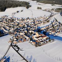
Hiking trails cross the entire territory and connect mountain villages, thermal spas and nature reserves; trail markers follow a standard system with colored diamonds. Year-round information centers in larger towns provide updates on current conditions and regional routes at different elevations.
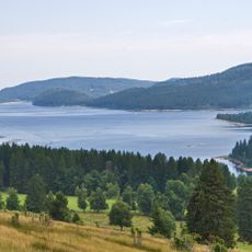
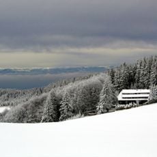
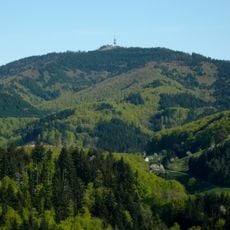
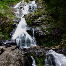
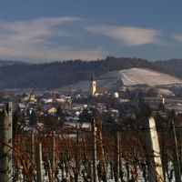
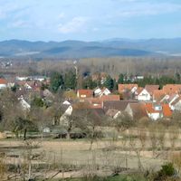
Feldberg reaches an elevation of 1493 meters (4898 feet) as the highest point of the Black Forest, while Lake Schluchsee lies at around 930 meters (3051 feet) as Germany's largest natural lake. Both are located in the eastern part of the district and connected by mountain roads and hiking paths.
The community of curious travelers
AroundUs brings together thousands of curated places, local tips, and hidden gems, enriched daily by 60,000 contributors worldwide.