Heitersheim, town in Baden-Württemberg, Germany
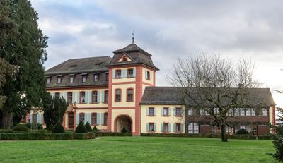
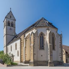
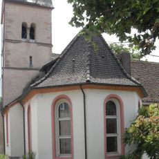
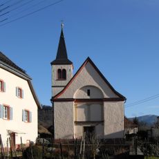
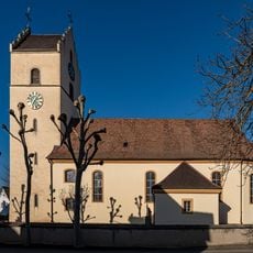
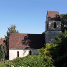
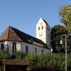
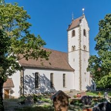
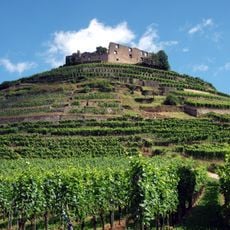
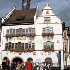
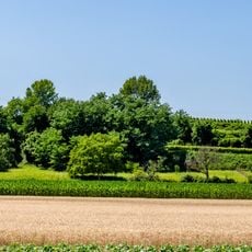
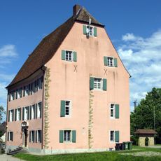
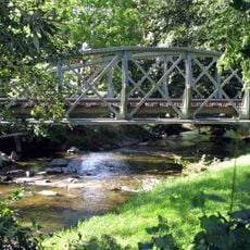
Heitersheim is a small town in the Breisgau-Hochschwarzwald region in sunny Markgräflerland, surrounded by rolling hills, fields, and vineyards in the southern Black Forest. The town features narrow streets with traditional buildings, a castle once owned by the Knights of Malta, museums, restaurants, and inns scattered throughout its streets.
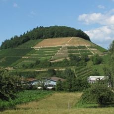
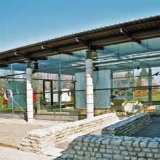
This town is one of the oldest wine-growing settlements in the region, with roots stretching back many centuries. The Knights of Malta established a presence here and left behind the castle, while museums throughout the town preserve stories from Roman times to more recent eras.
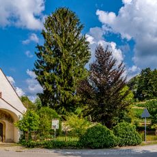
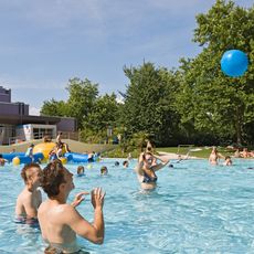
The town's wine-making tradition shapes how locals and visitors experience daily life, with vineyards woven into the landscape and local restaurants serving regional food and local wine. This connection to grapes and wine remains visible in how people gather and celebrate together throughout the year.
The town is easy to explore on foot, with peaceful streets and marked paths through the surrounding vineyards and countryside. The local tourism office can provide information about walks, accommodations, and attractions to help plan your visit.
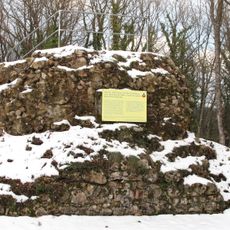
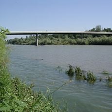
The Römmer-Radweg bike route follows ancient Roman roads that once connected larger cities, offering visitors today a journey through both history and the surrounding landscape. This trail reveals how the region has been linked to the wider world for centuries.
The community of curious travelers
AroundUs brings together thousands of curated places, local tips, and hidden gems, enriched daily by 60,000 contributors worldwide.