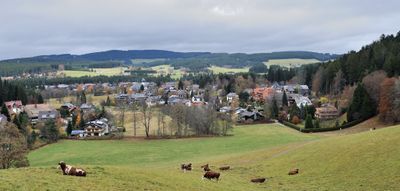
Hinterzarten, Climatic health resort in Black Forest region, Germany
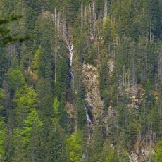
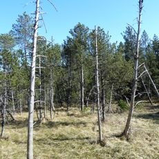
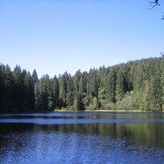
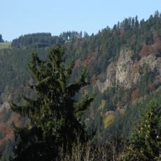
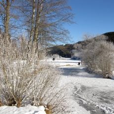
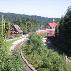
Hinterzarten is a small mountain municipality sitting at roughly 900 meters elevation in the Black Forest, surrounded by dense coniferous forests. The settlement has developed as a winter sports center with ski jump facilities and extensive networks of groomed trails crossing through the forests.
The settlement began in the 12th century with the name 'Hinter der Straß'. Over the 18th century, it took the name it has today, inspired by the nearby Zartenbach stream that flows through the area.
Winter sports run deep through the community here, with ski facilities and jumps shaping how locals move through and think about their surroundings. The tradition shows in everyday life, from how people dress for the season to how they spend their time on the slopes.
The village is easy to explore on foot, with trails branching from the town center into surrounding forests. During winter months, sturdy boots and preparation for snowy conditions make the experience safer and more comfortable.
This place was among the earliest in Germany to develop winter sports facilities, a tradition that started earlier than many realize. As early as the 1920s, skiers and jumpers came here to practice new techniques on Black Forest slopes.
The community of curious travelers
AroundUs brings together thousands of curated places, local tips, and hidden gems, enriched daily by 60,000 contributors worldwide.