Höllentalbahn, Railway line in Black Forest region, Germany
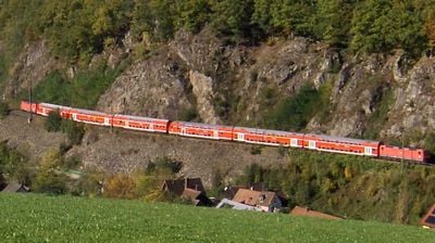
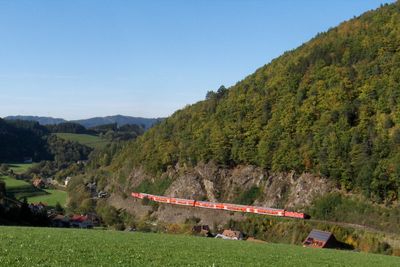
This 74.7-kilometer railway connects Freiburg im Breisgau with Donaueschingen, passing through 15 tunnels and crossing the 40-meter-high Ravenna viaduct. The route climbs from the Rhine plain through its namesake valley before reaching the Baar plateau, serving stations at Titisee, Hinterzarten, and Neustadt. Engineering works overcome significant elevation changes across the mountainous terrain.
Opening in 1887, the route initially employed a Riggenbach rack system to manage steep sections between stations. Operations converted to adhesion traction in 1933, eliminating the need for rack technology on trains. Complete electrification occurred in stages throughout the twentieth century, allowing higher speeds and increased passenger capacity along the mountain route.
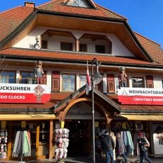
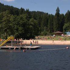
Named after the steep valley carved between rock walls near Freiburg, this railway transformed regional commerce by connecting highland communities with Rhine valley markets. The line opened previously isolated Black Forest villages to regular passenger service and freight transport. Commuters now depend on it for daily travel, while visitors use the route to reach hiking trails and winter sports areas throughout the southern highlands.
Alstom Coradia trains run hourly on this fully electrified route connecting Freiburg with the Baar region. Tickets are available at station machines or through the DB app, with designated bicycle storage areas aboard. Panoramic windows provide views of Black Forest landscapes during the roughly 90-minute journey, with sections through the valley offering particularly scenic terrain.
Between Hirschsprung and Hinterzarten, the tracks climb at a maximum gradient of 5.5 percent, ranking among Germany's steepest standard gauge adhesion railways. This section originally required rack technology, though modern locomotives manage the slope through optimized drive systems and braking mechanisms. Winter conditions demand additional safety measures to maintain traction on exposed segments of the route.
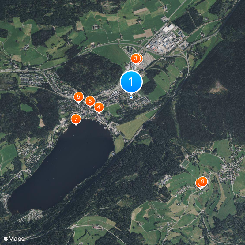
The community of curious travelers
AroundUs brings together thousands of curated places, local tips, and hidden gems, enriched daily by 60,000 contributors worldwide.