Oberried, municipality in Baden-Württemberg, Germany
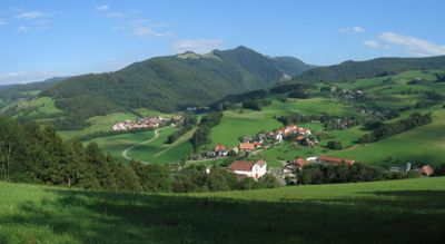
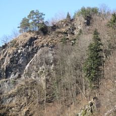
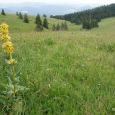
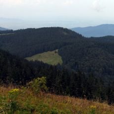
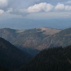
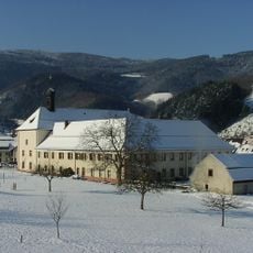
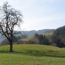
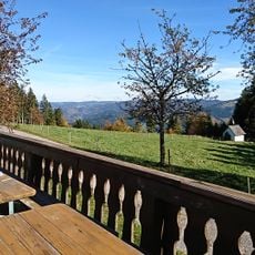
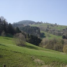
Oberried is a small municipality in the Black Forest, situated in the Dreisamtal valley surrounded by forested slopes. The settlement consists of scattered hamlets with traditional timber-frame houses spread throughout meadows and wooded areas.
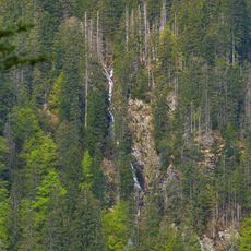
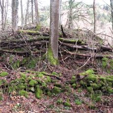
The settlement developed along the waterways of the Dreisamtal valley, where mills and crafts were important from the Middle Ages onward. Its structure and place within the Black Forest region have remained largely unchanged for centuries.
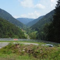
The name refers to the three streams that flow through the valley, a feature that shaped milling and water use for generations. Visitors can still observe how water features prominently in village life and in the design of older buildings throughout the area.
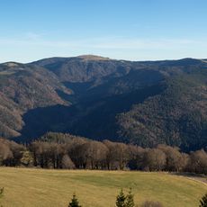
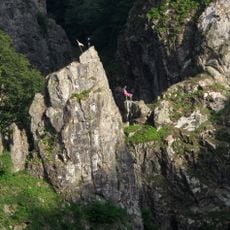
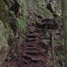
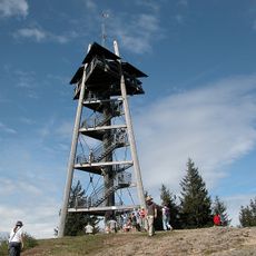
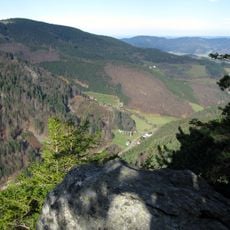
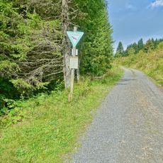
The area is crossed by hiking trails and is good for exploring the Black Forest landscape on foot. Access is via winding roads through the valley, and since the location is remote, travelers should allow extra time for the journey.
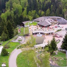
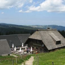
The municipality consists of several small village cores scattered across the valley rather than one central settlement. This layout allows hikers to walk between the different areas and experience the entire valley as a single landscape.
The community of curious travelers
AroundUs brings together thousands of curated places, local tips, and hidden gems, enriched daily by 60,000 contributors worldwide.