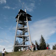
Rappeneck, Mountain summit in Black Forest, Germany.
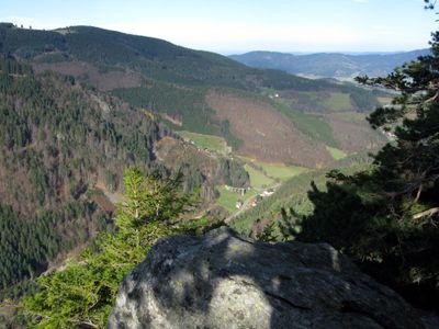
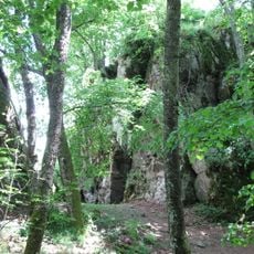
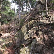
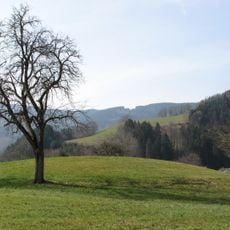
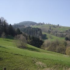
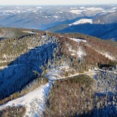
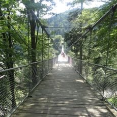
Rappeneck is a mountain in the Black Forest with an elevation of 1,010 meters (3,314 feet), featuring mixed forest and open slopes that make the ascent varied and interesting. Several established routes lead to the summit, each offering different perspectives on the surrounding wooded landscape.
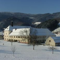
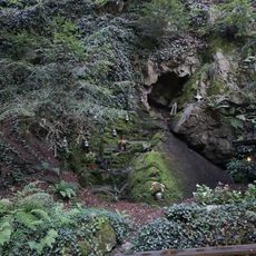
Rappeneck served as a natural landmark in the Black Forest region, where settlements emerged along medieval trade routes that crossed the mountains. The mountain's position made it a recognizable reference point for travelers moving through this forested terrain.
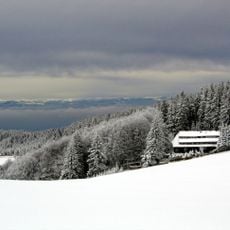
Local mountain traditions include seasonal festivals and gatherings at nearby mountain huts, reflecting the region's connection to nature.
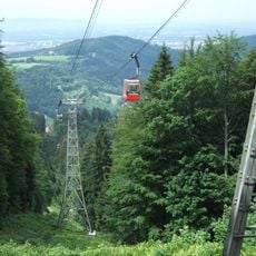
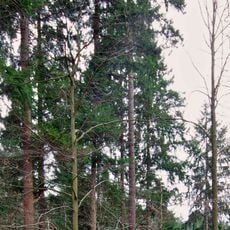
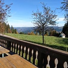
The hiking routes are clearly marked and feature resting spots along the way for visitors to catch their breath. Ground conditions can become slippery after rain, so proper footwear is advisable for anyone planning to climb.
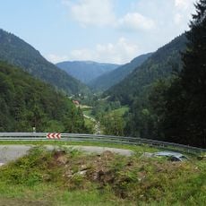
Three distinct hiking routes converge at the summit, making it a natural meeting point where hikers from different directions come together. This junction of paths turns the peak into a strategic hub for planning longer loops and routes through the Black Forest.
The community of curious travelers
AroundUs brings together thousands of curated places, local tips, and hidden gems, enriched daily by 60,000 contributors worldwide.