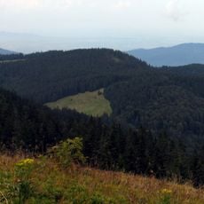
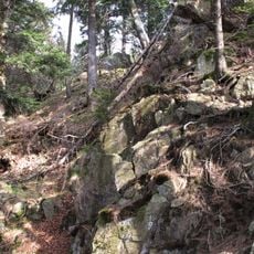
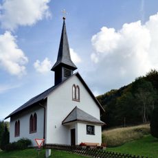
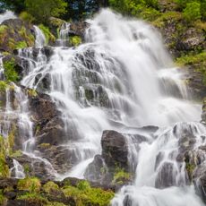
Alpine Path, Hiking trail in Feldberg, Black Forest, Germany.
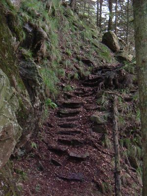
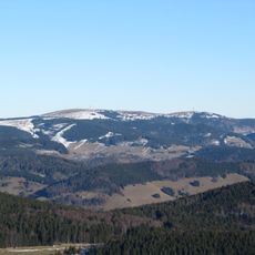
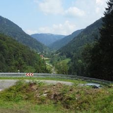
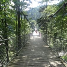
The Alpine Path stretches 20.4 kilometers through challenging terrain in the Black Forest, featuring steep rocky sections, elevation changes of over 600 meters, and demanding passages that require sure footing and proper hiking equipment.
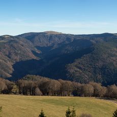
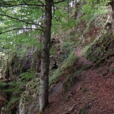
Originally serving as a transport and trade route connecting remote settlements in the Black Forest region, the Alpine Path has evolved from a practical mountain passage into an unofficial hiking trail no longer maintained by local authorities.
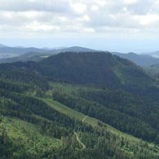
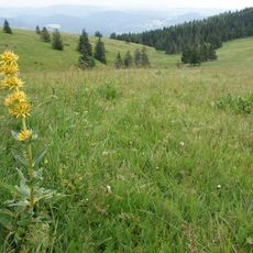
The trail represents the adventurous spirit of German hiking culture, attracting experienced mountaineers who seek unmarked wilderness routes and value the connection to traditional alpine practices in the Black Forest region.
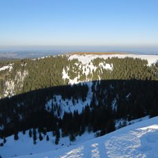
Hikers should bring weather-resistant clothing, sufficient water, sturdy hiking boots, and a flashlight, as the unmaintained trail features steep passages and potential hazards that require careful navigation and early morning starts.
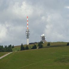
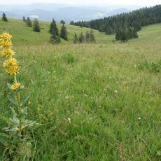
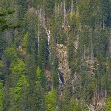
Unlike marked hiking trails, the Alpine Path remains deliberately unpaved and unsignposted, preserving old stone markers and wooden bridge remnants that serve as historical traces of its original purpose as a mountain passage.
The community of curious travelers
AroundUs brings together thousands of curated places, local tips, and hidden gems, enriched daily by 60,000 contributors worldwide.