
Berka/Werra, municipality of Germany
Location: Werra-Suhl-Tal
Elevation above the sea: 228 m
Website: http://berkawerra.de
GPS coordinates: 50.93944,10.07000
Latest update: March 3, 2025 03:00
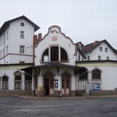
Gerstungen station
2.9 km
Rundkirche Untersuhl
1.9 km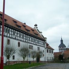
Schloss Gerstungen
3.2 km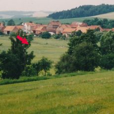
Burg Breitenbach
2.5 km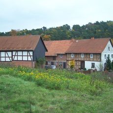
Gasteroda
5 m
Kirche
4.4 km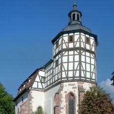
Katharinenkirche
3.2 km
Schloss Dippach
2.8 km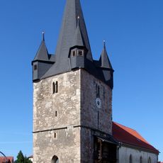
St. Hubertus
9.7 km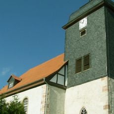
Heiligen-Geist-Kirche
7.1 km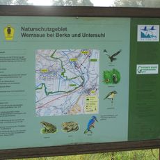
Werraaue bei Berka und Untersuhl
1.1 km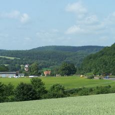
Lehne
9 km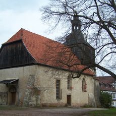
Dorfkirche Oberellen
8.2 km
Auels-Berg
3.1 km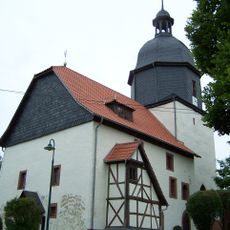
St. Margarethen (Herda)
2.1 km
Eichelberg
1.8 km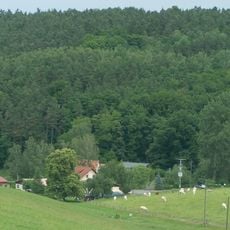
Lutzberg
4.1 km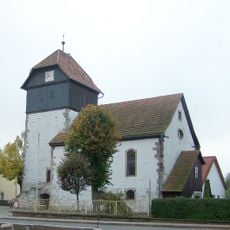
Dorfkirche Unterellen
7.1 km
Weinberg
5 km
Landers-Kopf
5.3 km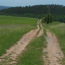
Kolmischer Berg
3.8 km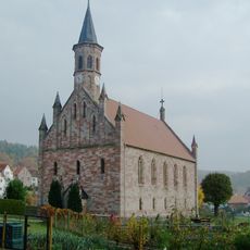
Protestant Church Frauensee
8.4 km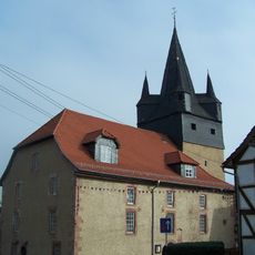
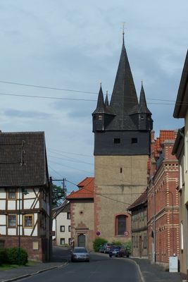
St. Laurentius (Berka/Werra)
254 m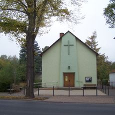
Herz-Jesu Church (Gerstungen)
2.7 km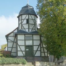
Protestant Church Horschlitt
2.6 km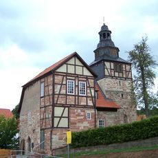
St. Katharina (Dippach)
2.8 km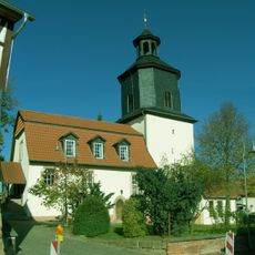
Protestant Church (Wünschensuhl)
6 km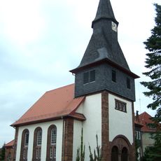
Protestant Church Vitzeroda
5.9 kmVisited this place? Tap the stars to rate it and share your experience / photos with the community! Try now! You can cancel it anytime.
Discover hidden gems everywhere you go!
From secret cafés to breathtaking viewpoints, skip the crowded tourist spots and find places that match your style. Our app makes it easy with voice search, smart filtering, route optimization, and insider tips from travelers worldwide. Download now for the complete mobile experience.

A unique approach to discovering new places❞
— Le Figaro
All the places worth exploring❞
— France Info
A tailor-made excursion in just a few clicks❞
— 20 Minutes