
Bibertal, municipality of Germany
Location: Günzburg
Elevation above the sea: 495 m
Shares border with: Nersingen, Kötz, Pfaffenhofen an der Roth
Website: http://bibertal.de
GPS coordinates: 48.40000,10.20000
Latest update: March 3, 2025 02:11
Strasse Army Ammunition Plant
3.1 km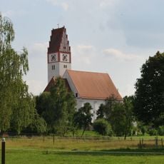
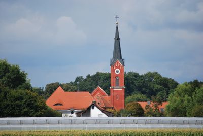
St. Mariä Geburt
5.3 km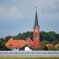
St. Leonhard (Echlishausen)
2.9 km
Anhofer Muehle
1.7 km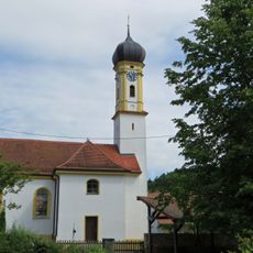
Saints Ulrich of Augsburg and Leonard Church
2.1 km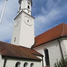
St. Mauritius
553 m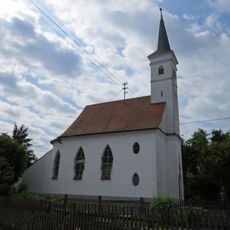
St. Georg (Schneckenhofen)
1.8 km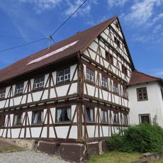
Postweg 1
1 km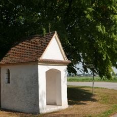
Feldkapelle (Anhofen)
2.2 km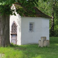
Feldkapelle (Ettlishofen)
1.8 km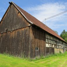
Fachwerkstadel
2 km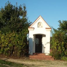
Feldkapelle Silheim
967 m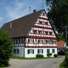
Deiblerstraße 20
2.2 km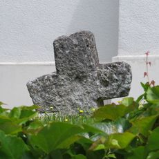
Steinkreuz Bühl
2.1 km
St. Sebastian
2.9 km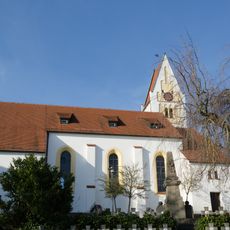
St. Margaretha (Bühl)
2.1 km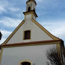
Catholic Church Heilige Dreifaltigkeit
4.5 km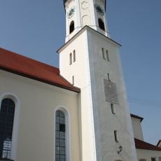
St. Mauritius und Gefährten
4.5 km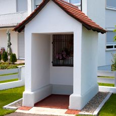
Wegkapelle
4.4 km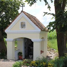
Chapel
830 m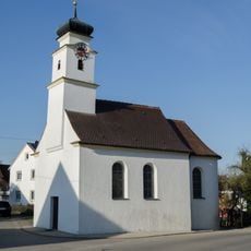
Katholische Kapelle St. Antonius
2.6 km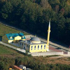
Kanun-i-Sultan-Süleyman-Moschee
3.7 km
Biberhacken
4.1 km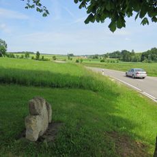
Stone cross
1.8 km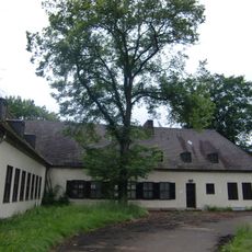
Ehemaliges Offizierheim
5.2 km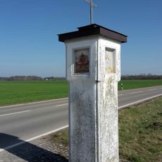
Wayside shrine
4 km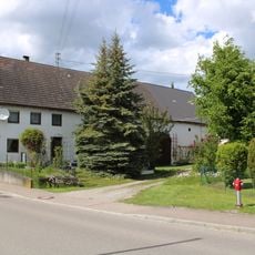
Leipheimer Straße 24
5.3 km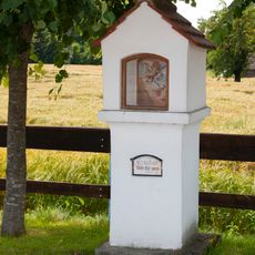
Bildstock
4.4 kmVisited this place? Tap the stars to rate it and share your experience / photos with the community! Try now! You can cancel it anytime.
Discover hidden gems everywhere you go!
From secret cafés to breathtaking viewpoints, skip the crowded tourist spots and find places that match your style. Our app makes it easy with voice search, smart filtering, route optimization, and insider tips from travelers worldwide. Download now for the complete mobile experience.

A unique approach to discovering new places❞
— Le Figaro
All the places worth exploring❞
— France Info
A tailor-made excursion in just a few clicks❞
— 20 Minutes