
Bergtheim, municipality of Germany
Location: Würzburg
Elevation above the sea: 216 m
Part of: Verwaltungsgemeinschaft Bergtheim
Shares border with: Hausen bei Würzburg, Unterpleichfeld
Website: http://bergtheim.de
GPS coordinates: 49.90000,10.06667
Latest update: March 5, 2025 14:39
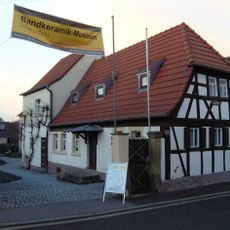
Bandkeramik-Museum Schwanfeld
5.5 km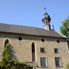
Klosterkirche
4.3 km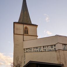
Kirchturm
195 m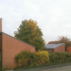
St. Matthäus
385 m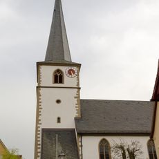
St. Ägidius
4.2 km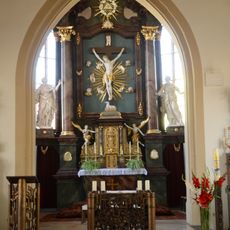
Pfarrkirche
5.6 km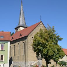
St. Lambertus (Opferbaum)
2.8 km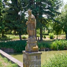
St. Nepomuk-Statue
4 km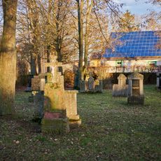
Friedhof
613 m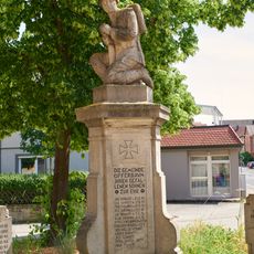
Kriegerdenkmal
2.8 km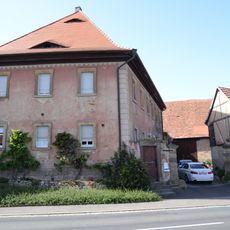
Bauernhof
5.6 km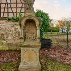
Prozessionsaltar
183 m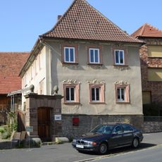
Bauernhof
5.5 km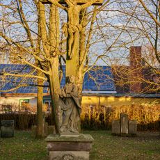
Friedhofskreuz Nähe Lindenallee in Bergtheim
611 m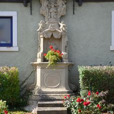
Prozessionsaltar
5.6 km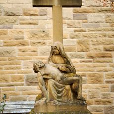
Pietà Am Marktplatz in Bergtheim
181 m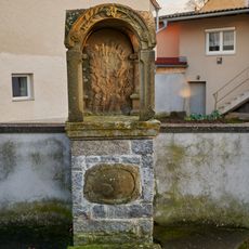
Prozessionsaltar
499 m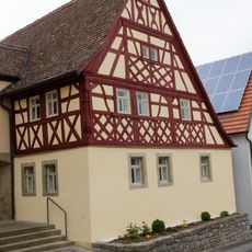
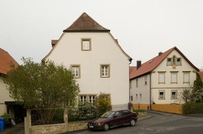
Wohnstallhaus
4.2 km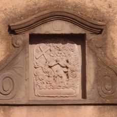
Prozessionsaltar
195 m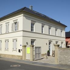
Wohngebäude
5.5 km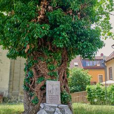
Denkmal
2.8 km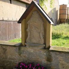
Bildstockaufsatz
4.2 km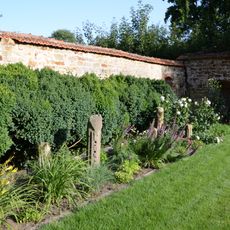
Gutshof
4.2 km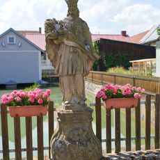
St. Nepomuk-Statue
2.7 km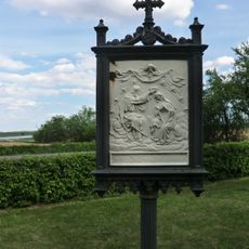
Kreuzweg
2.6 km
Pfarrhaus
5.5 km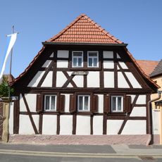
Wohnstallhaus
5.5 km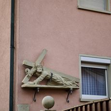
Kreuzschlepper
181 mReviews
Visited this place? Tap the stars to rate it and share your experience / photos with the community! Try now! You can cancel it anytime.
Discover hidden gems everywhere you go!
From secret cafés to breathtaking viewpoints, skip the crowded tourist spots and find places that match your style. Our app makes it easy with voice search, smart filtering, route optimization, and insider tips from travelers worldwide. Download now for the complete mobile experience.

A unique approach to discovering new places❞
— Le Figaro
All the places worth exploring❞
— France Info
A tailor-made excursion in just a few clicks❞
— 20 Minutes