
Albaching, municipality of Germany
Location: Rosenheim
Elevation above the sea: 513 m
Part of: Verwaltungsgemeinschaft Pfaffing
Shares border with: Steinhöring, Edling
Website: http://albaching.de
GPS coordinates: 48.11250,12.11528
Latest update: April 13, 2025 05:26
Mariä Heimsuchung
5.1 km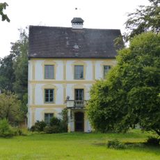
Schloss Brandstätt
4.3 km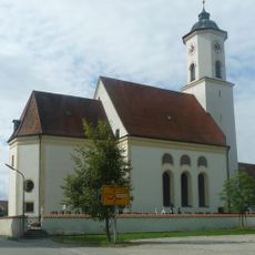
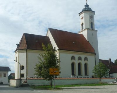
St. Nikolaus (Albaching)
362 m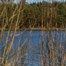
Hochmoor am Kesselsee
6.2 km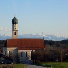
St. Korbinian
3.6 km
St. Pankratius
5.3 km
Katholische Pfarrkirche Sankt Nikolaus
365 m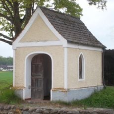
Weilerkapelle
5.9 km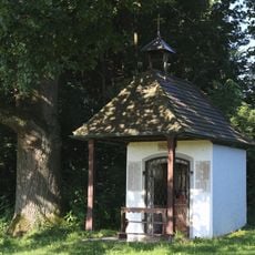
Heimkehrer-Kapelle
5.7 km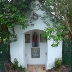
Wegkapelle
4.6 km
Schutz von Landschaftsteilen um den Staudhamer See in den Gemeinden Steppach, Soyen, Attel und Edling
6.4 km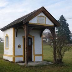
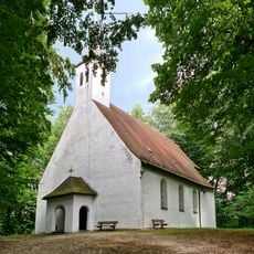
Kapelle
6.8 km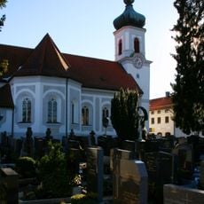
St. Agatha
4.4 km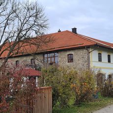
Dichtlmühle
4.6 km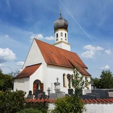
Hl. Kreuz
2.5 km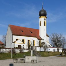
St. Katharina
6.5 km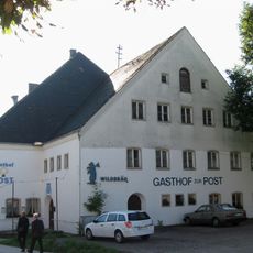
Gasthof zur Post Steinhöring
6.9 km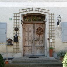
Münchener Straße 21
6.9 km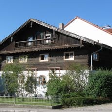
Wohnteil des ehemaligen Einfirsthofes
6.8 km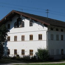
Einfirsthof
5.3 km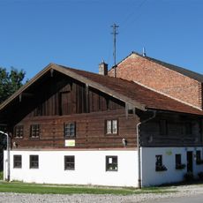
Dorfstraße 6
5.5 km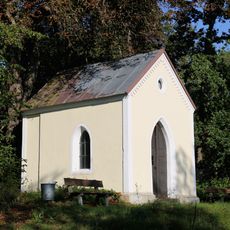
Wegkapelle am Hochhauser Weiher
6.7 km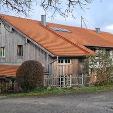
Bauernhaus
4 km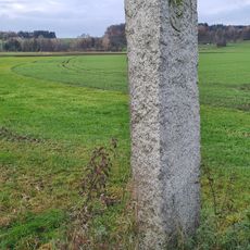
Grenzstein
4.1 km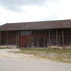
Stadel
1.5 km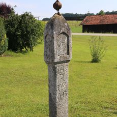
Bildstock
2 km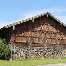
Stadel
1.6 km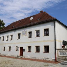
Pfarrhaus
394 mReviews
Visited this place? Tap the stars to rate it and share your experience / photos with the community! Try now! You can cancel it anytime.
Discover hidden gems everywhere you go!
From secret cafés to breathtaking viewpoints, skip the crowded tourist spots and find places that match your style. Our app makes it easy with voice search, smart filtering, route optimization, and insider tips from travelers worldwide. Download now for the complete mobile experience.

A unique approach to discovering new places❞
— Le Figaro
All the places worth exploring❞
— France Info
A tailor-made excursion in just a few clicks❞
— 20 Minutes