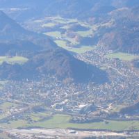
Rosenheim, Administrative district in Bavaria, Germany
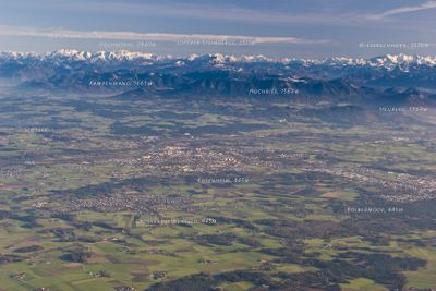
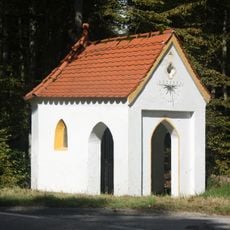
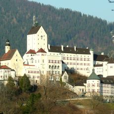
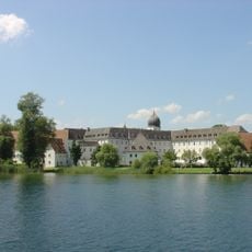
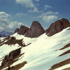
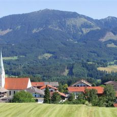
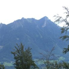
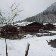
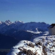
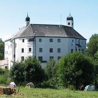
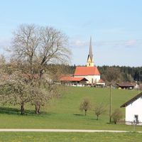
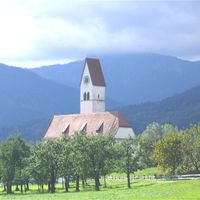
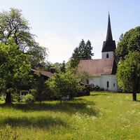
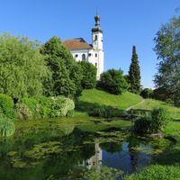
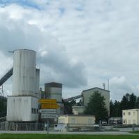
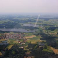
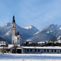
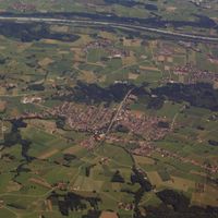
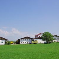
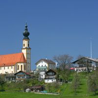
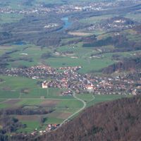
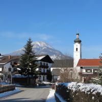
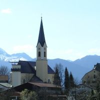
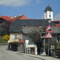
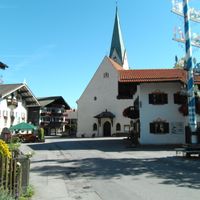
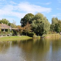
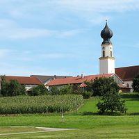
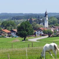
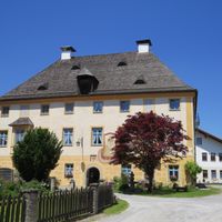
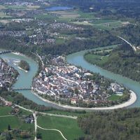
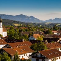
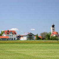
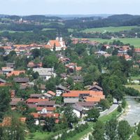
Rosenheim is a rural district in Upper Bavaria that covers rolling terrain between the Inn valley and the first mountain ridges of the Alps. The area includes several towns and ranges from gentle hills with meadows and forests to higher ground near the Austrian border.
The current administrative structure formed in 1972 when three former districts merged into one unit. This reorganization brought the towns between the Inn river and Wendelstein mountain under shared governance.
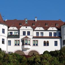
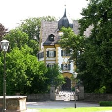
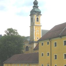
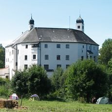
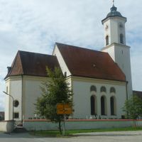
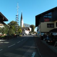
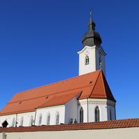
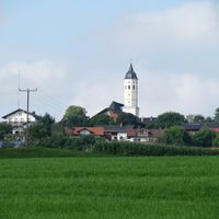
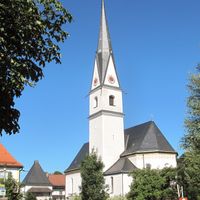
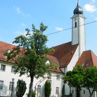
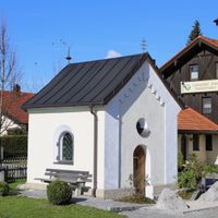
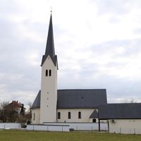
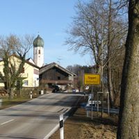
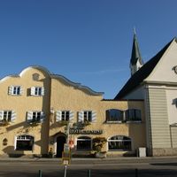
The area takes its name from the town that serves as administrative center, coordinating public services for surrounding communities scattered across the Alpine foothills. People in villages and smaller towns maintain their own local traditions while sharing the same municipal framework.
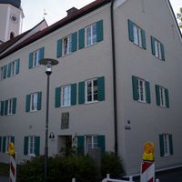
Visitors and residents find information on administrative matters and services through the central office in the main town. Many requests can be handled online in advance or by appointment.
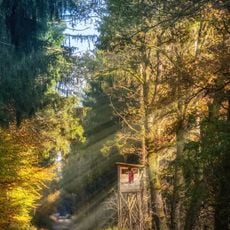
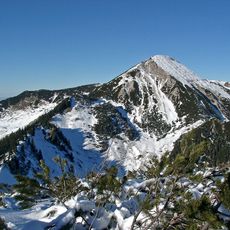
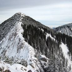
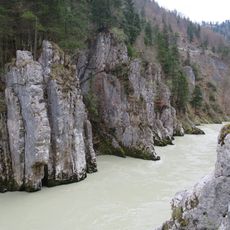
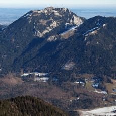
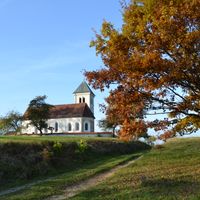
The landscape clearly shows traces of the last ice age with moraine hills and glacially shaped valleys now covered by forests and fields. Wendelstein mountain rises above the region and has long served as a landmark for hikers and travelers.
Location: Upper Bavaria
Inception: July 1, 1862
Capital city: Rosenheim
Elevation above the sea: 512 m
Shares border with: Rosenheim, Miesbach, Munich, Ebersberg, Mühldorf, Traunstein, Kufstein District
Website: http://landkreis-rosenheim.de
GPS coordinates: 47.92000,12.17000
Latest update: December 13, 2025 19:32
Herrenchiemsee
18.6 km
Spitzingsee
35.5 km
Castle Vagen
22.7 km
Wendelstein Rack Railway
24.6 km
Hubertuskapelle
28.5 km
Hohenaschau Castle
20.6 km
Frauenchiemsee convent
19.8 km
Ebersberger Forst
27.2 km
Schloss Neubeuern
16.3 km
Rotwand
34.8 km
Schloss Wildenwart
14.7 km
Chiemsee-Bahn
15.1 km
Geigelstein
26.7 km
Reisach Priory
28.4 km
Wasserfall Tatzelwurm
28.4 km
Brecherspitz
35.1 km
Kloster Herrenchiemsee
17.9 km
Hochries
20.1 km
Heuberg
21.6 km
Justizvollzugsanstalt Bernau am Chiemsee
20 km
Entenlochklamm
30.6 km
Lokschuppen Rosenheim
8.1 km
Markus Wasmeier Bauernhof- und Wintersportmuseum
32.2 km
Schloss Amerang
12.3 km
Breitenstein
26 km
Brünnstein
30.8 km
Schloss Altenburg
26.7 km
Inn Glacier
23.4 kmVisited this place? Tap the stars to rate it and share your experience / photos with the community! Try now! You can cancel it anytime.
Albaching
Amerang
Babensham
Bad Feilnbach
Bernau am Chiemsee
Brannenburg
Breitbrunn am Chiemsee
Chiemsee
Edling
Eggstätt
Eiselfing
Feldkirchen-Westerham
Flintsbach
Frasdorf
Griesstätt
Großkarolinenfeld
Gstadt am Chiemsee
Halfing
Höslwang
Kiefersfelden
Nußdorf am Inn
Oberaudorf
Pfaffing
Prutting
Ramerberg
Raubling
Riedering
Rimsting
Rohrdorf
Rott am Inn
Samerberg
Schechen
Schonstett
Söchtenau
Soyen
Stephanskirchen
Tuntenhausen
Vogtareuth
Bad Aibling
Kolbermoor
Wasserburg am Inn
Bad Endorf
Bruckmühl
Neubeuern
Prien am Chiemsee
Rotter Forst-Nord
Rotter Forst-Süd
Aschau im Chiemgau
Discover hidden gems everywhere you go!
From secret cafés to breathtaking viewpoints, skip the crowded tourist spots and find places that match your style. Our app makes it easy with voice search, smart filtering, route optimization, and insider tips from travelers worldwide. Download now for the complete mobile experience.
A unique approach to discovering new places❞
— Le Figaro
All the places worth exploring❞
— France Info
A tailor-made excursion in just a few clicks❞
— 20 Minutes