Neubeuern, municipality of Germany
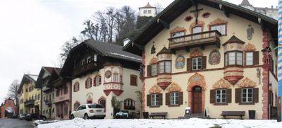
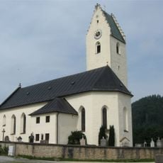
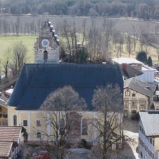
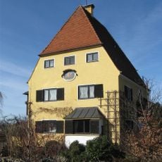
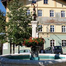
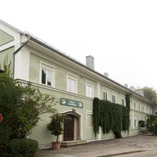
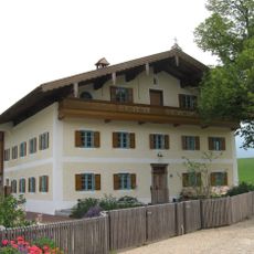
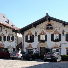
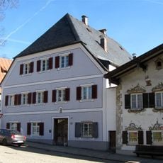
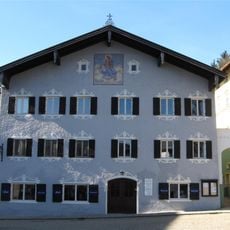
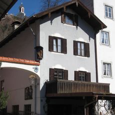
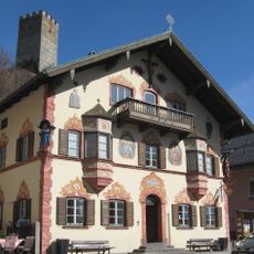
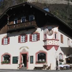
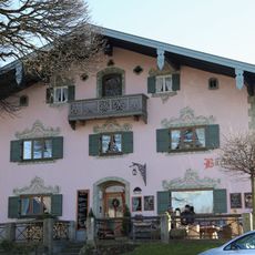
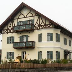
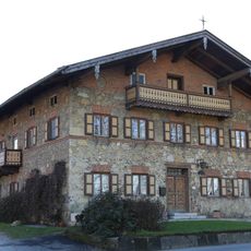
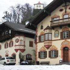
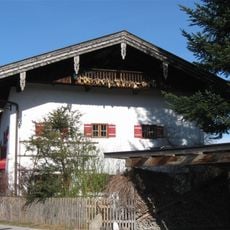
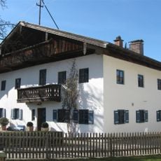
Neubeuern is a market town in Bavaria built around a hill with a medieval castle at the top, featuring narrow cobblestone streets, stone houses with colorful facades, and wooden-framed buildings typical of the region. The central market square is ringed by shops, cafes, and restaurants with outdoor seating, and decorative murals on buildings create an open-air gallery throughout the town.
Neubeuern was first mentioned in 788 as a possession of the Salzburg church and developed into a trading center protected by a medieval castle built to control important regional routes. The town was rebuilt in the 18th century after war damage and grew prosperous along the Munich-to-Salzburg trade corridor.
The name Neubeuern reflects its medieval market town origins, and residents keep these traditions alive through regular festivals and markets where local crafts, traditional Bavarian dress, and folk music remain part of the community's daily identity and visitor experience.
The town has no train station but is easily reached by bus from Rosenheim or neighboring communities, with scenic driving and cycling routes through the surrounding countryside. Once in the village, you can walk through streets on foot to explore shops, restaurants, and marked hiking trails that lead to viewpoints over the surrounding hills and valleys.
The castle has housed an international boarding school since the 1920s, making it not just a monument to the past but a living space where students from across Germany and beyond study and live within its historic stone walls. This blend of medieval architecture with contemporary school life creates an unexpected contrast that connects the place's history with its present-day function.
The community of curious travelers
AroundUs brings together thousands of curated places, local tips, and hidden gems, enriched daily by 60,000 contributors worldwide.