Bruckmühl, municipality of Germany
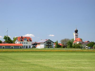
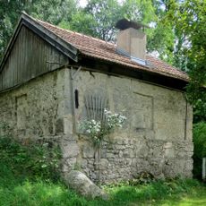
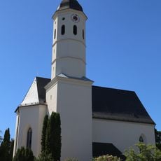
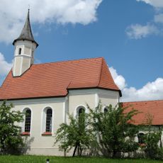
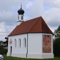
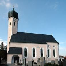
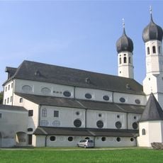
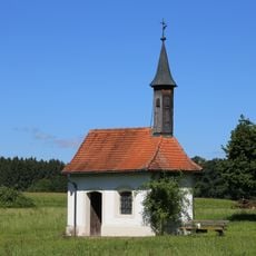
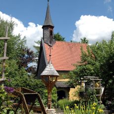
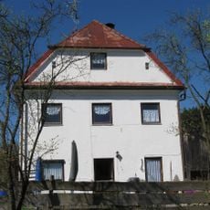
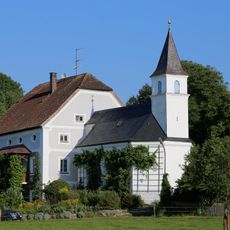
Bruckmühl is a market municipality in the Rosenheim district of Bavaria with about 17,500 residents spread across multiple neighborhoods. The town sits in the foothills of the Alps and covers an area of 50 square kilometers (19 square miles), with rolling hills and nearby lakes characterizing the landscape.
The place began as a farming area and transformed into an industrial community in the late 1800s as factories moved in. Following World War II, it was rebuilt and renamed in 1948, then officially recognized as a market municipality in 1964.
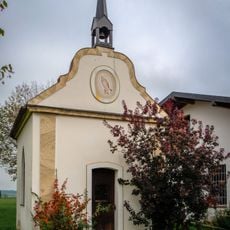
The place was called Kirchdorf am Haunpold until 1948, when it was renamed as the community grew in importance. Local traditions and gatherings keep the past alive, with residents coming together at markets and festivals to share stories and maintain connections to their roots.
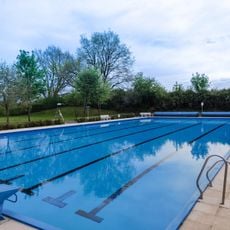
The location offers easy access to both major cities and natural outdoor areas like hills and lakes for recreation. The town has schools, adult education classes, and a library where visitors and residents can access books, audiobooks, and digital resources.
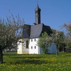
The municipality expanded by incorporating the villages of Holzham in 1975 and Götting in 1978 as separate communities. More than 100 clubs and organizations actively operate here, running sports facilities, music groups, and community events that draw residents together.
The community of curious travelers
AroundUs brings together thousands of curated places, local tips, and hidden gems, enriched daily by 60,000 contributors worldwide.