Wasserburg am Inn, Medieval town on Inn River peninsula, Bavaria, Germany
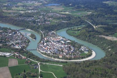
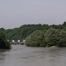
Wasserburg am Inn is a town in Bavaria within Rosenheim district, where the old center sits on a peninsula shaped by a sharp bend in the Inn River. The water wraps around the site almost completely and separates the historic lanes from the flat countryside that spreads beyond.
During the Middle Ages, the settlement controlled the only bridge across the Inn for many kilometers around and became a central junction for salt transport from the Alps. Until the 17th century, it served as the main port for Munich, shipping large amounts of salt from the mines near Berchtesgaden and Bad Reichenhall.
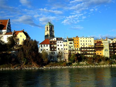
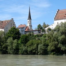
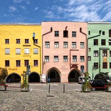
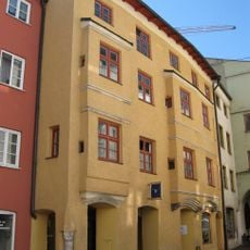
The name recalls an old fortress once surrounded by water and built to watch over the river bank. Many facades in the narrow lanes still carry frescoes and painted decorations that remind visitors of the confidence and wealth of the merchants who once lived here.
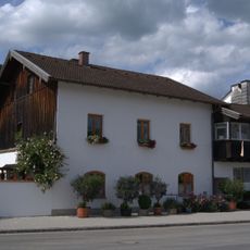
The core on the peninsula is best explored on foot, as many lanes are narrow and closed to cars. Shops and services are found both in the old center and in newer districts outside the river bend, which can be reached easily by car.
The river loop has changed very little over the centuries and still gives the old center its unmistakable natural boundary today. In a few spots, the distance between the two riverbanks is so narrow that you can clearly see the opposite shore across the water.
The community of curious travelers
AroundUs brings together thousands of curated places, local tips, and hidden gems, enriched daily by 60,000 contributors worldwide.