Tuntenhausen, municipality of Germany
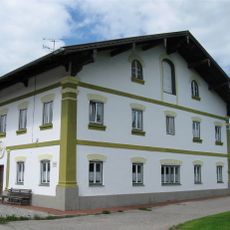
Tuntenhausen is a small village in the Rosenheim region of Upper Bavaria, encompassing about 57 hamlets and settlements within its municipal area. The landscape features gentle rolling terrain with open fields and patches of forest, where traditional farmhouses and cottages with tiled roofs define the character of the place.
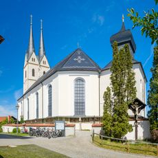
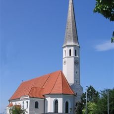
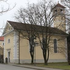
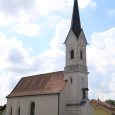
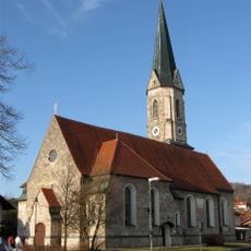
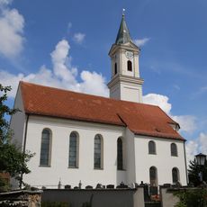
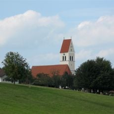
The village has a history stretching back several hundred years, with its church dedicated to Saint George serving as the central element of the community for generations. The pilgrimage basilica gained significance after a reported miracle in the 15th century and was granted its basilica status by Pope Pius XII.
The village name Tuntenhausen is sometimes playfully translated as 'Sissy Town' in English, giving the place a sense of distinctive character. Community life revolves around the church and agriculture, with neighbors still knowing each other well and meeting in the quiet streets.
The village is best explored on foot or by bicycle using small roads and field paths, offering a relaxed way to experience the rural surroundings. The nearby Ostermünchen train station with hourly connections provides a practical way to reach nearby areas or travel to larger cities.
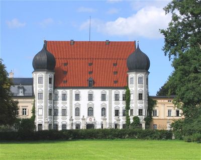
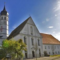
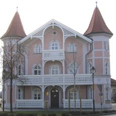
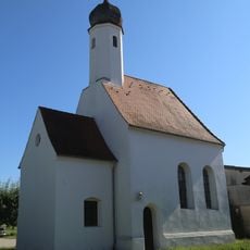
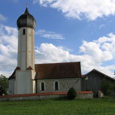
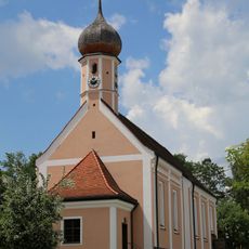
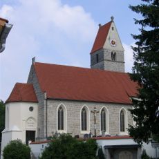
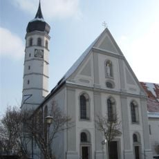
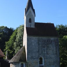
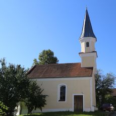
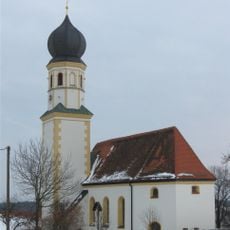
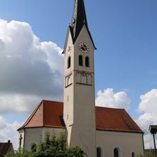
The nearby Monastery Beyharting once housed Augustinian monks and features wall paintings from the 16th century. The broader area also contains several medieval churches of different architectural styles and Renaissance Castle Maxlrain, recognizable by its distinctive onion-shaped domes.
The community of curious travelers
AroundUs brings together thousands of curated places, local tips, and hidden gems, enriched daily by 60,000 contributors worldwide.