Feldkirchen-Westerham, municipality of Germany
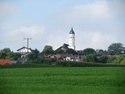
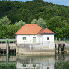
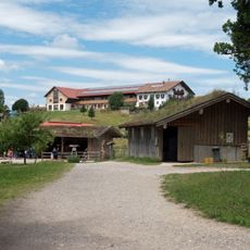
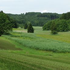
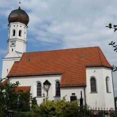
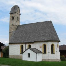
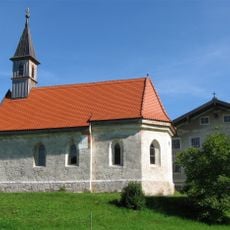
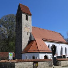
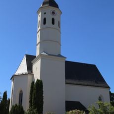
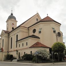
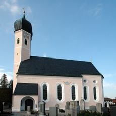
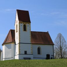
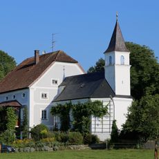
Feldkirchen-Westerham is a small town in the Rosenheim district composed of four connected villages and surrounded by rivers, lakes, and green fields. Its quiet streets are lined with older stone buildings, while parks and water features like the Lauser Weiher offer peaceful places to rest.
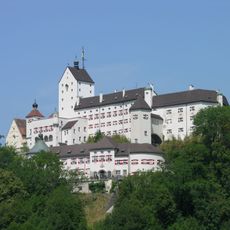
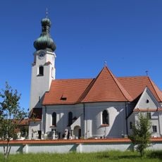
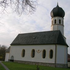
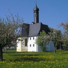
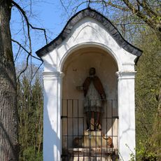
The area has a history spanning hundreds of years, with castles built as early as 750 to watch over the salt road to Munich. Over time these structures changed hands repeatedly and served as trade points and strategic guards.
The town carries its identity through four distinct districts, each with its own sense of community, where residents celebrate festivals with traditional music, dance, and clothing. These gatherings help people stay connected to their roots and shared values that shape daily life here.
The area is easy to reach by car or bus with simple access to the surroundings via cycling and walking paths like the Mangfallradweg and Via Julia. Most services and shops are centrally located and within walking distance, making exploration convenient.
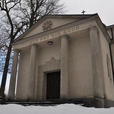
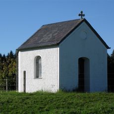
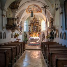
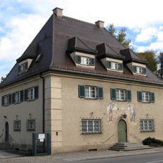
An unusual landmark is the Stollwerck Mausoleum, also called the Chocolate Church, built in 1911 by the son of a famous chocolate factory founder for his adopted daughter. This rare private chapel reveals an unexpected side of local history.
The community of curious travelers
AroundUs brings together thousands of curated places, local tips, and hidden gems, enriched daily by 60,000 contributors worldwide.