Samerberg, municipality of Germany
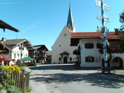
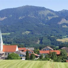
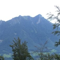
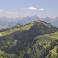
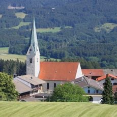
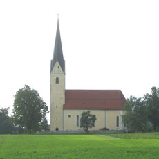
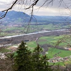
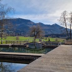
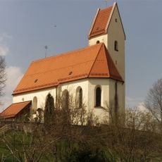
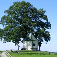
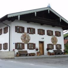
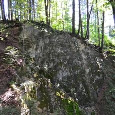
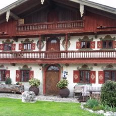
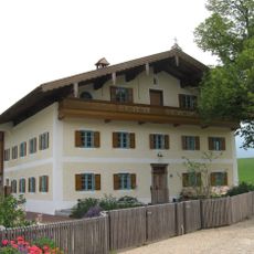
Samerberg is a rural municipality in the Rosenheim district, located between the Chiemgau Alps and their foothills, and made up of open meadows, pastures, and patches of woodland. The area is divided into several small village centers connected by country roads that wind through farmland and rolling hills.
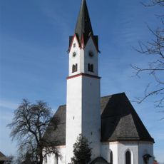
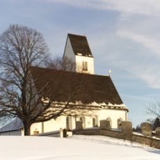
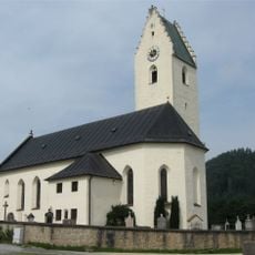
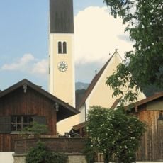
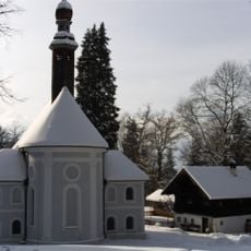
The municipality was formed in 1970 when four communities, Toerwang, Grainbach, Rossholzen, and Steinkirchen, merged into one, with the town hall set in Toerwang. Before that, the area's economy had been shaped for centuries by seasonal farming and the trade routes that crossed these foothills.
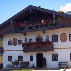
The name Samerberg comes from medieval traders called samers, who carried goods on pack horses through the mountain passes. This trading tradition is still part of how people here understand the region's identity, and it appears in local place names and stories.
The area is best reached by car, though local bus routes connect the villages to nearby train stations for those arriving by public transport. The country roads are well suited for walking or cycling, but conditions can vary by season, so it is worth checking local weather before setting out.
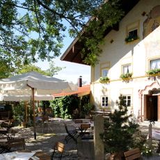
The first treehouse hotel in the Rosenheim district is located here, offering guests a chance to sleep in wooden cabins built into the trees. This type of lodging draws visitors who want a stay that feels closer to the forest than to a standard hotel room.
The community of curious travelers
AroundUs brings together thousands of curated places, local tips, and hidden gems, enriched daily by 60,000 contributors worldwide.