
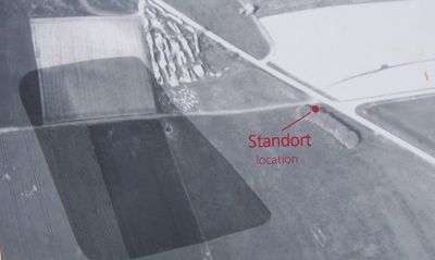
Zweites Ellinger Römerlager, human settlement in Germany
Location: Ellingen
Part of: Raetian Limes
GPS coordinates: 49.06460,10.98100
Latest update: April 19, 2025 13:11
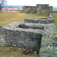
Castrum Sablonetum
513 m
Franziskanerkirche
971 m
Christ Church
889 m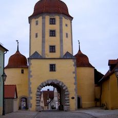
Pleinfelder Tor
1 km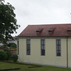
Hospital Church of St. Elisabeth in Ellingen
1 km
Rosental 1, 3
1 km
Pleinfelder Straße 14
1 km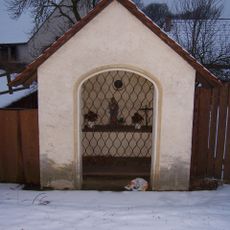
Anna-Kapelle
969 m
Kapelle
736 m
Hausner Gasse 3
1 km
Ehemaliges Distriktskrankenhaus Ellingen
830 m
Pleinfelder Straße 25 (Ellingen)
1 km
Pleinfelder Straße 21
995 m
Pleinfelder Straße 15
986 m
Nischenfigur an Pleinfelder Straße 8
1 km
Pleinfelder Straße 6
1 km
Nischenfigur an Hausner Gasse 30a
828 m
Hausner Gasse 6
934 m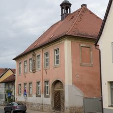
Hausner Gasse 4
953 m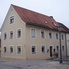
Pleinfelder Straße 18
1 km
Pleinfelder Straße 19
994 m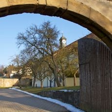
Elisabethspital
998 m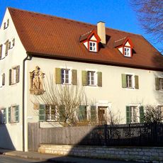
Rosental 29
1 km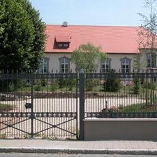
Rosental 27
985 m
Rosental 5
1 km
Rosental 3
1 km
Pleinfelder Straße 12 (Ellingen)
1 km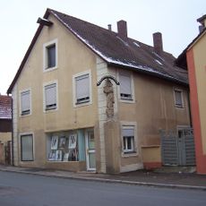
Hausner Gasse 11
943 mReviews
Visited this place? Tap the stars to rate it and share your experience / photos with the community! Try now! You can cancel it anytime.
Discover hidden gems everywhere you go!
From secret cafés to breathtaking viewpoints, skip the crowded tourist spots and find places that match your style. Our app makes it easy with voice search, smart filtering, route optimization, and insider tips from travelers worldwide. Download now for the complete mobile experience.

A unique approach to discovering new places❞
— Le Figaro
All the places worth exploring❞
— France Info
A tailor-made excursion in just a few clicks❞
— 20 Minutes