
Lucka, municipality of Germany
Location: Altenburger Land
Elevation above the sea: 150 m
Shares border with: Groitzsch, Regis-Breitingen
Website: https://lucka.de
GPS coordinates: 51.09500,12.33528
Latest update: March 2, 2025 23:11
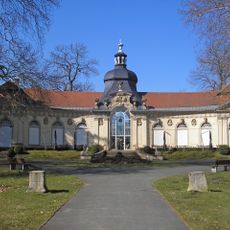
Orangerie Meuselwitz
6.1 km
Zuckerfabrik Rositz
9.1 km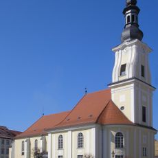
Martinskirche
6.3 km
St. Elisabeth (Zipsendorf)
6.8 km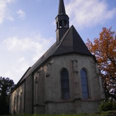
St. Veit (Kriebitzsch)
8 km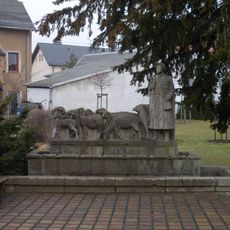
Schäferbrunnen (Regis-Breitingen)
6.5 km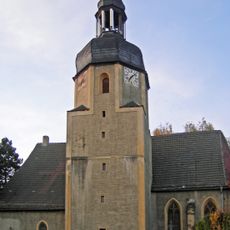
Dorfkirche Zipsendorf
6.6 km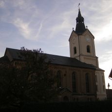
Kirche
8 km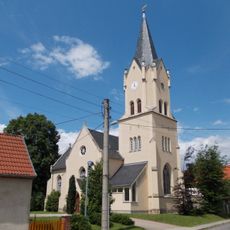
Dorfkirche Prößdorf
2.4 km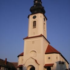
St. Walburga
4.6 km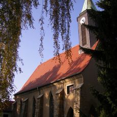
Dorfkirche Mumsdorf
6.3 km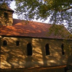
Dorfkirche Falkenhain
3.2 km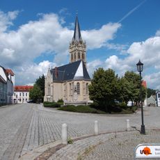
Pankratiuskirche
4.6 km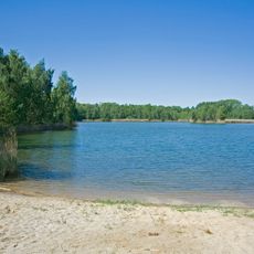
Landschaftsschutzgebiet Hainbergsee Meuselwitz
7.3 km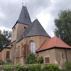
Protestant Church Langendorf
5.3 km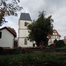
Kirche Hohendorf
2.3 km
Protestant Church (Breitenhain)
1.7 km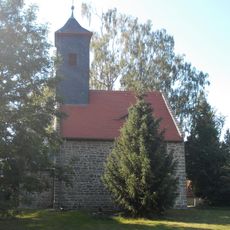
Protestant Church Nißma
9.4 km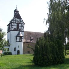
Protestant Church (Spora)
9.2 km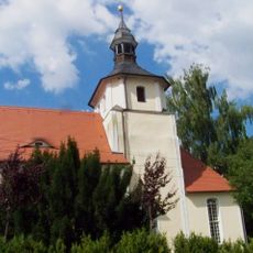
Dorfkirche Ramsdorf: Kirche (mit Ausstattung) und Grabstein an der Kirche Dorfstraße -
2.7 km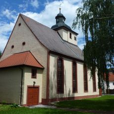
Kirche Auligk
7.1 km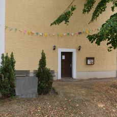
Dorfkirche Pödelwitz
5.9 km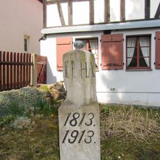
Boundary stones between Prussia and Saxony - 76 original
109 m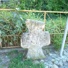
Steinkreuz
7 km
War memorial Zechau
9.2 km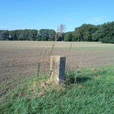
Sächsisch-Preußischer Grenzstein: Nr. 73 (linkselbisch)
7.3 km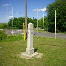
Boundary stones between Prussia and Saxony - 76 Nachbau
3.7 km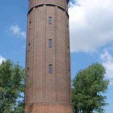
Wasserturm Deutzen
6.1 kmReviews
Visited this place? Tap the stars to rate it and share your experience / photos with the community! Try now! You can cancel it anytime.
Discover hidden gems everywhere you go!
From secret cafés to breathtaking viewpoints, skip the crowded tourist spots and find places that match your style. Our app makes it easy with voice search, smart filtering, route optimization, and insider tips from travelers worldwide. Download now for the complete mobile experience.

A unique approach to discovering new places❞
— Le Figaro
All the places worth exploring❞
— France Info
A tailor-made excursion in just a few clicks❞
— 20 Minutes