Log in to your account

AroundUs is a community-driven map of interesting places, built by curious explorers like you. It grows with every review, story, and photo you share.
Connect to save your favorite spots, contribute locations, and create personalized routes.
Continue with Google
Continue with Apple
Continue with X
Continue with Facebook
Continue with email
By continuing, you accept our Terms and Conditions and our Privacy Policy
Create an account
Add to collection
Map
Suggest a change
Share

Altenburger Land, Administrative district in eastern Thuringia, Germany.

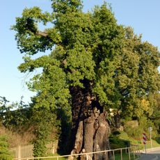
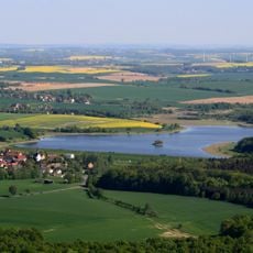
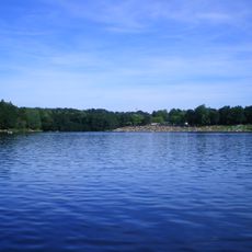
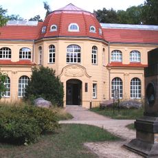
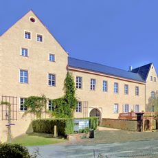
Altenburger Land is an administrative district in eastern Thuringia, featuring gently rolling farmland intersected by the Pleiße River running north to south. The landscape is dominated by agricultural fields, pastures, and scattered villages, with Altenburg as the main town.

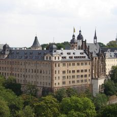
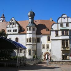
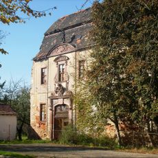
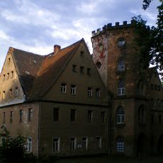
The region developed from early settlements into the Duchy of Saxe-Altenburg, which existed from 1826 to 1918 as an independent political entity. It became part of Thuringia in 1922 following German political reorganization.

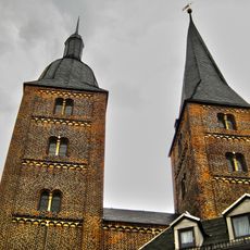
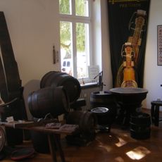
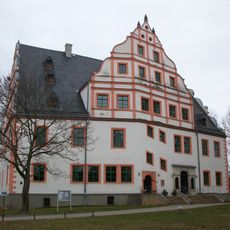
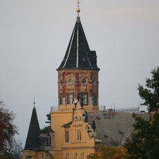
The district capital Altenburg maintains ties to card games and playing card manufacturing, which shaped the city's identity for centuries. This tradition remains visible today through local institutions and the way residents take pride in this heritage.

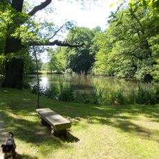
The district sits roughly 50 kilometers from Leipzig and Chemnitz and is accessible by road and rail connections. Visitors will find rural accommodation and dining options scattered throughout, with Altenburg offering the most services as the main hub.

The district's coat of arms combines a red rose and lion with additional heraldic symbols that reflect centuries of local rule and territorial changes. These emblems serve as visual reminders of the region's complex political past and overlapping influences.

Location: Thuringia

Capital city: Altenburg

Elevation above the sea: 236 m

Shares border with: Landkreis Leipzig, Mittelsachsen, Zwickau, Greiz, Burgenlandkreis

Phone: +4934475860

Website: https://altenburgerland.de

GPS coordinates: 51.00000,12.41667

Latest update: December 20, 2025 16:18

Photos
Reviews

Visited this place? Tap the stars to rate it and share your experience / photos with the community! Try now! You can cancel it anytime.

« Altenburger Land - Administrative district in eastern Thuringia, Germany » is provided by Around Us (aroundus.com). Images and texts are derived from Wikimedia project under a Creative Commons license. You are allowed to copy, distribute, and modify copies of this page, under the conditions set by the license, as long as this note is clearly visible.

Discover hidden gems everywhere you go!

From secret cafés to breathtaking viewpoints, skip the crowded tourist spots and find places that match your style. Our app makes it easy with voice search, smart filtering, route optimization, and insider tips from travelers worldwide. Download now for the complete mobile experience.

Around Us App Screenshot

A unique approach to discovering new places

Le Figaro

All the places worth exploring

France Info

A tailor-made excursion in just a few clicks

20 Minutes