
Althengstett, municipality in Baden-Württemberg, Germany
Location: Calw District
Location: Althengstett GVV
Elevation above the sea: 506 m
Shares border with: Calw, Gechingen, Simmozheim, Ostelsheim, Bad Liebenzell
Website: http://althengstett.de
GPS coordinates: 48.72333,8.79389
Latest update: March 7, 2025 00:24
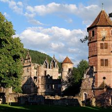
Hirsau Abbey
4.8 km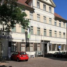
Hermann-Hesse-Höri-Museum
4.2 km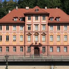
Palais Vischer
4 km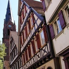
Stadtkirche Calw
4.2 km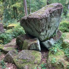
Wackelstein Calw
4.2 km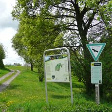
Würm-Heckengäu
990 m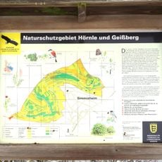
Hörnle und Geißberg
3.6 km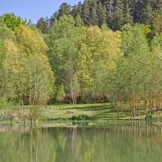
Calwer Heckengäu
922 m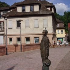
Haus Reichert
4 km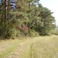
Simmozheimer Wald
2.3 km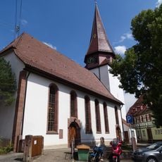
Martinskirche Stammheim
3.6 km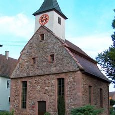
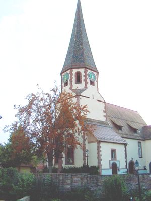
Waldenserkirche
1.9 km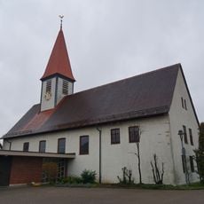
Evangelische Kirche Wimberg
5.1 km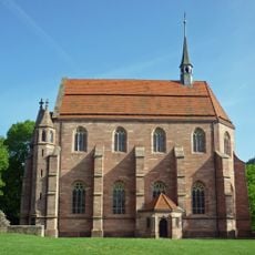
Marienkapelle Hirsau
4.8 km
Evangelische Freikirche Gemeinde Gottes Calw-Hirsau
4.5 km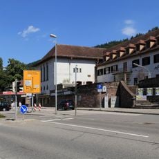
Kinostar Neues Cinema
4.1 km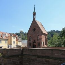
Nikolauskapelle
4 km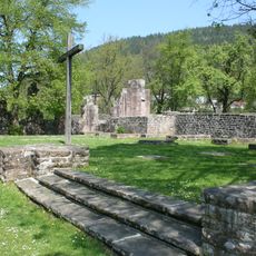
Klosterkirche St. Peter und Paul
4.8 km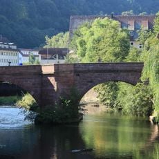
Nikolausbrücke
4 km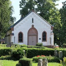
Friedhofskapelle Calw
4.1 km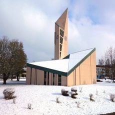
Evangelische Versöhnungskirche Heumaden
2.6 km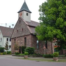
Alte Linde
1.9 km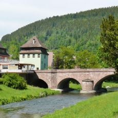
Hirsau Bridge
4.6 km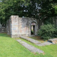
Kapelle
4.8 km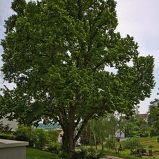
Große Linde
3.6 km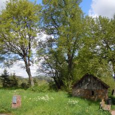
Vier Linden am Welschen Häusle (Nr. 122)
2.4 km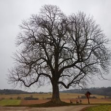
Kastanie (Nr. 96)
2.3 km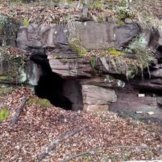
Bruderhöhle
5.6 kmVisited this place? Tap the stars to rate it and share your experience / photos with the community! Try now! You can cancel it anytime.
Discover hidden gems everywhere you go!
From secret cafés to breathtaking viewpoints, skip the crowded tourist spots and find places that match your style. Our app makes it easy with voice search, smart filtering, route optimization, and insider tips from travelers worldwide. Download now for the complete mobile experience.

A unique approach to discovering new places❞
— Le Figaro
All the places worth exploring❞
— France Info
A tailor-made excursion in just a few clicks❞
— 20 Minutes