
Adlerfels, mountain
Location: Eibenstock
Elevation above the sea: 778.1 m
GPS coordinates: 50.48454,12.59540
Latest update: April 13, 2025 10:43
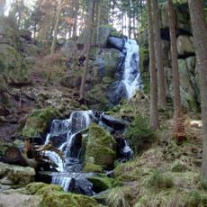
Blauenthaler Wasserfall
3.6 km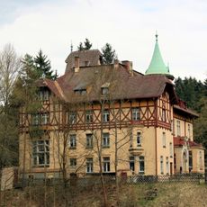
Wolfsgrüner Schlößchen
3.8 km
Brückenberg
3.6 km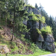
Rockenstein
2.8 km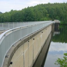
Vorsperre Schönheiderhammer
3.3 km
Am Riedert
3.2 km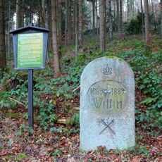
Wettin-Stein
1.9 km
Grüner Graben (Eibenstock)
3 km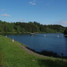
Vorbecken Rähmerbach
2.3 km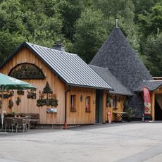
Erlebnis-Köhlerei Sosa
4.1 km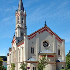
Protestant Church
1.1 km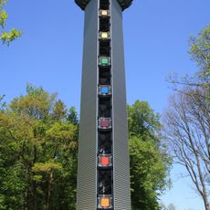
Glück auf-Tower
2 km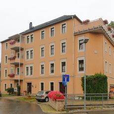
Wohnhaus in offener Bebauung, ehemals Filzfabrik Bachstraße 4
1.3 km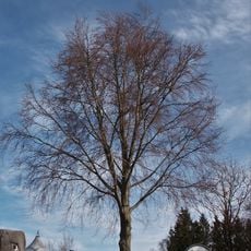
Bühlbuche
1.9 km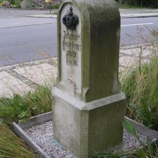
Königlich-Sächsischer Meilenstein Alte Poststraße Wildenthal
4.4 km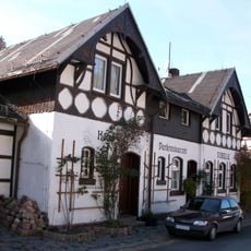
Hotel- und Restaurantbau mit Nebengebäude Zimmersacherstraße 2
3.9 km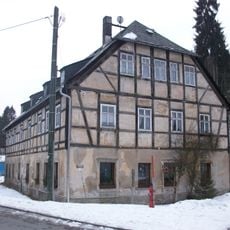
Wohnhaus Zimmersacherstraße 4
3.9 km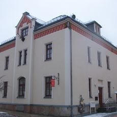
Ehemaliges Forsthaus (heute Wohnhaus) in offener Bebauung, mit Remisengebäude im Hof Dr.-Leidholdt-Straße 2
1.1 km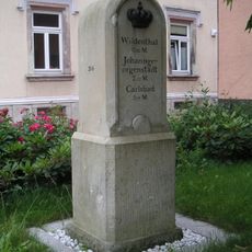
Kgl.-sächs. Postmeilenstein Karlsbader Straße Eibenstock
1 km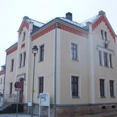
Ehemaliges Forsthaus (heute Wohnhaus) in offener Bebauung Otto-Findeisen-Straße 1
1.1 km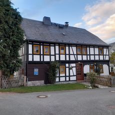
Frölichweg 4
4.3 km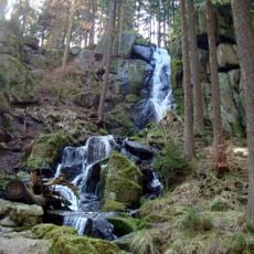
Blauenthaler Wasserfall
3.7 km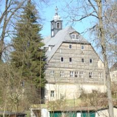
Hammerherrenhaus Blauenthal
3.9 km
Rathaus Eibenstock
1.2 km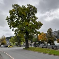
Schuleiche
4.3 km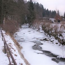
Tal der Großen Bockau
2.2 km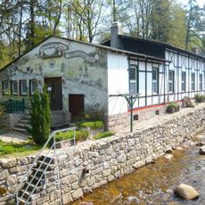
Gartenrestaurant (ohne Anbauten) auf der anderen Flussseite Zimmersacherstraße 2 (gegenüber)
3.9 km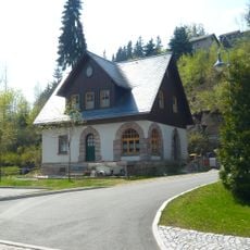
Wohnhaus Unterblauenthaler Weg 1
3.8 kmReviews
Visited this place? Tap the stars to rate it and share your experience / photos with the community! Try now! You can cancel it anytime.
Discover hidden gems everywhere you go!
From secret cafés to breathtaking viewpoints, skip the crowded tourist spots and find places that match your style. Our app makes it easy with voice search, smart filtering, route optimization, and insider tips from travelers worldwide. Download now for the complete mobile experience.

A unique approach to discovering new places❞
— Le Figaro
All the places worth exploring❞
— France Info
A tailor-made excursion in just a few clicks❞
— 20 Minutes