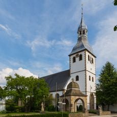
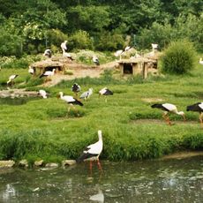
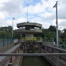
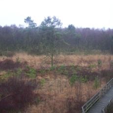
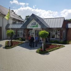
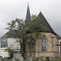
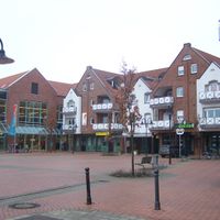
Spelle, Samtgemeinde in Lower Saxony
Location: Emsland
Inception: March 1, 1974
Elevation above the sea: 35 m
Website: http://www.spelle.de/
Website: http://spelle.de
GPS coordinates: 52.36667,7.46667
Latest update: April 23, 2025 06:19
Kloster Bentlage
7.6 km
St.-Antonius-Basilika
9.5 km
Saline Gottesgabe
8.2 km
St. Dionysius (Rheine)
9.9 km
Gymnasium Dionysianum
9.6 km
Villa Reni
9.8 km
Rheine Ems Weir
9.7 km
Großsteingrab von Rheine
7.6 km
St. Cyriakus
9.4 km
Nepomukstatue
9.9 km
St. Georg (Hopsten)
9.5 km
NaturZoo Rheine
8.3 km
Schleuse Altenrheine
6.8 km
Speller Dose
2.9 km
St. Ludgerus (Rheine)
8.2 km
St. Anna
4.5 km
St. Johannes der Täufer
349 m
St. Ludgerus
7.4 km
Jüdischer Friedhof
8.5 km
St. Servatius (Beesten)
8 km
St. Vitus
7.8 km
Grosses und kleines Unland
9.3 km
Evangelisch-reformierte Kirche
7.5 km
Großsteingrab Bramsche-Wesel
9.1 km
Trogbahn-Wienhake
3.9 km
Moosbeeke
8.5 km
Dreierwalder Bruchwiesen
2.9 km
Krone
851 mReviews
Visited this place? Tap the stars to rate it and share your experience / photos with the community! Try now! You can cancel it anytime.
Discover hidden gems everywhere you go!
From secret cafés to breathtaking viewpoints, skip the crowded tourist spots and find places that match your style. Our app makes it easy with voice search, smart filtering, route optimization, and insider tips from travelers worldwide. Download now for the complete mobile experience.
A unique approach to discovering new places❞
— Le Figaro
All the places worth exploring❞
— France Info
A tailor-made excursion in just a few clicks❞
— 20 Minutes