
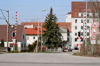
Reichertshofen, market municipality of Germany
Location: Pfaffenhofen
Elevation above the sea: 381 m
Part of: Verwaltungsgemeinschaft Reichertshofen
Shares border with: Manching, Geisenfeld
Website: http://reichertshofen.de
GPS coordinates: 48.66667,11.46667
Latest update: March 3, 2025 22:23
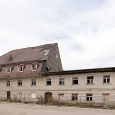
Mühle Stockau
475 m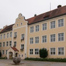
Schloss Reichertshofen
1.1 km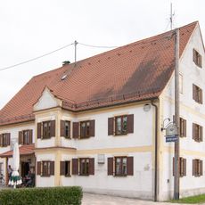
Gasthaus zum Alten Wirt
484 m
Pfarrhaus
927 m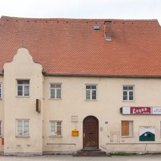
Gasthaus Grüner Kranz
1.4 km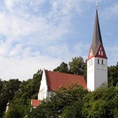
Sankt Kastl
6.2 km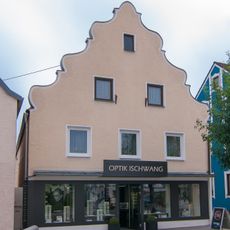
Wohn- und Geschäftshaus
1 km
Sankt Maria
682 m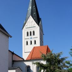
St. Margaretha
988 m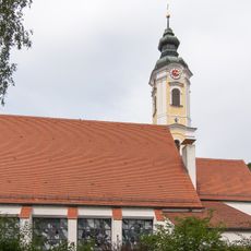
St. Martin
1.3 km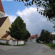
St. Sebastian
4.9 km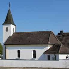
Katholische Ortskapelle
3.6 km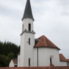
St. Jakobus
3.6 km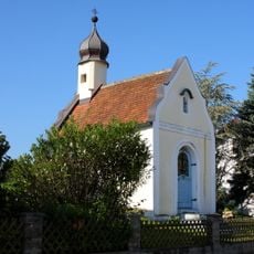
Kapelle Fürholzen
7.1 km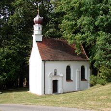
Wallfahrtskapelle Sankt Kastl
6.2 km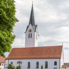
Kirche
4.6 km
Windsberg
4.2 km
Ehemals Schulhaus, jetzt Rathaus
1.1 km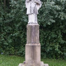
Sandsteinfigur des heiligen Johann Nepomuk
456 m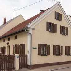
Ehemals Bauernhaus
847 m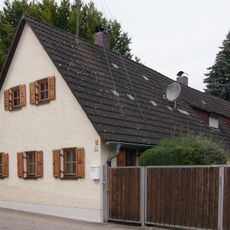
Ehemals Kleinbauernhaus
886 m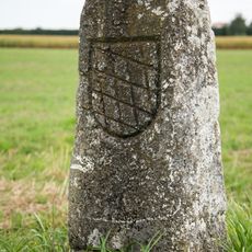
Grenzstein des ehemaligen Pflegamtes Reichertshofen
2.7 km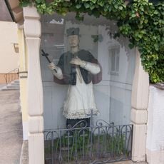
Holzfigur St Johann Nepomuk
930 m
Ehemals Gasthof
959 m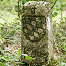
Grenzstein des ehemaligen Amtes Reichertshofen
3.4 km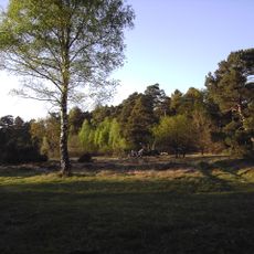
Feilenmoos mit Nöttinger Viehweide
6.7 km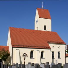
St. Nikolaus
5.6 km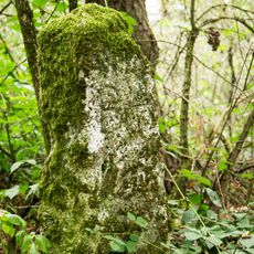
Grenzstein des ehemaligen Amtes Reichertshofen
4.1 kmVisited this place? Tap the stars to rate it and share your experience / photos with the community! Try now! You can cancel it anytime.
Discover hidden gems everywhere you go!
From secret cafés to breathtaking viewpoints, skip the crowded tourist spots and find places that match your style. Our app makes it easy with voice search, smart filtering, route optimization, and insider tips from travelers worldwide. Download now for the complete mobile experience.

A unique approach to discovering new places❞
— Le Figaro
All the places worth exploring❞
— France Info
A tailor-made excursion in just a few clicks❞
— 20 Minutes