
Pettendorf, municipality of Germany
Location: Regensburg
Elevation above the sea: 455 m
Website: http://pettendorf.de
GPS coordinates: 49.05944,12.00583
Latest update: March 7, 2025 10:37
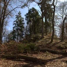
Burgstall Löweneck
3.6 km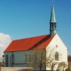
Kirche unserer Lieben Frau
1.9 km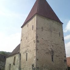
Kirche St. Leonhard (Penk)
3.3 km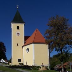
St. Michael
3.6 km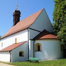
St. Michael (Kager)
3.9 km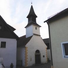
Kirche St. Wolfgang
3.3 km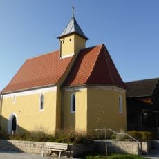
Mariä Himmelfahrt (Kneiting)
4.2 km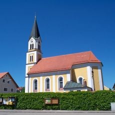
St. Peter und Paul (Kneiting)
4.2 km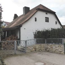
Bauernhaus
3.3 km
Saint Margaret of Hungary Church
160 m
Wegkapelle Maria Hilf (Berghof)
2.9 km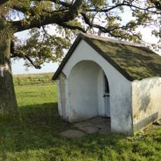
Watzlik-Kapelle
3.3 km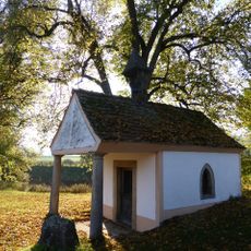
Wegkapelle St. Maria
1.4 km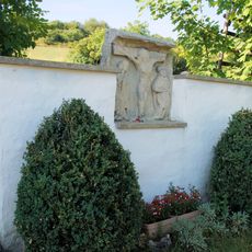
Wegkreuz und Bildstockfragment
3.9 km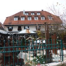
Ehem. Bauernhaus
3.3 km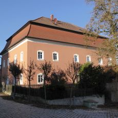
Schloss Pettendorf
85 m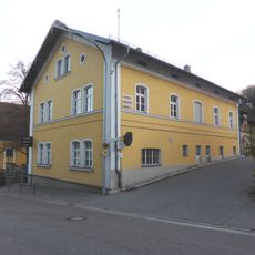
Etterzhausen
3.5 km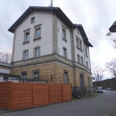
Bahnhof Etterzhausen
3.8 km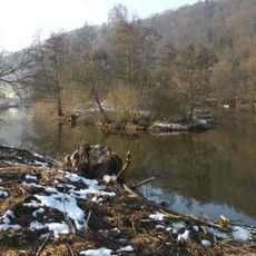
Kammerschleuse
2.2 km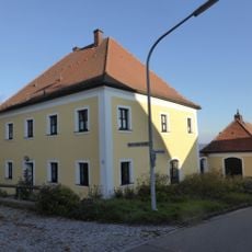
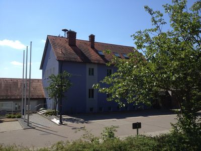
Kath. Pfarrhaus
175 m
Steinkreuz Am Sand
443 m
Etterzhausen
3.5 km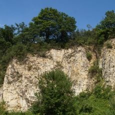
Ehemaliger Steinbruch SW von Kager
3.6 km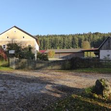
Gutshaus
1.5 km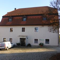
Wohnhaus
112 m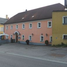
Gasthof
3.5 km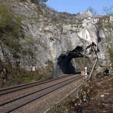
Eisenbahntunnel
4.3 km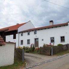
Bauernhaus
3.7 kmReviews
Visited this place? Tap the stars to rate it and share your experience / photos with the community! Try now! You can cancel it anytime.
Discover hidden gems everywhere you go!
From secret cafés to breathtaking viewpoints, skip the crowded tourist spots and find places that match your style. Our app makes it easy with voice search, smart filtering, route optimization, and insider tips from travelers worldwide. Download now for the complete mobile experience.

A unique approach to discovering new places❞
— Le Figaro
All the places worth exploring❞
— France Info
A tailor-made excursion in just a few clicks❞
— 20 Minutes