Kellinghusen, municipality of Germany
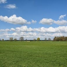
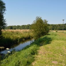
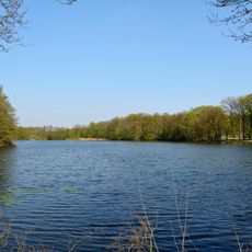
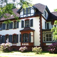
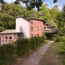
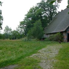
Kellinghusen is a small town in Steinburg district in Schleswig-Holstein, located near the Stör River. The streets are lined with old brick buildings and small shops that have remained for many years, and the flat terrain sits only a few meters above sea level.
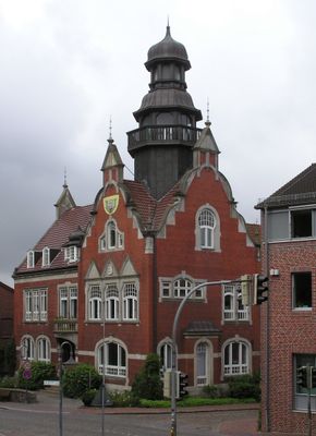
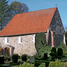
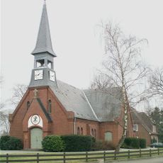
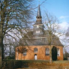
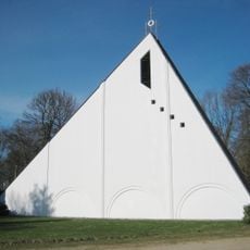
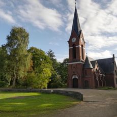
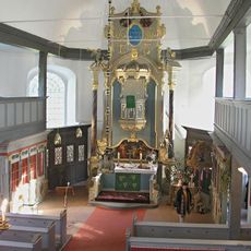
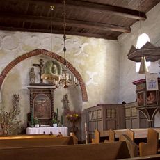
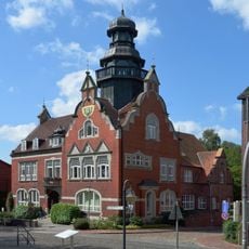
The town was first mentioned around 1148 and became a center for craftspeople and ceramic makers, whose products were known beyond Denmark's borders. The St. Cyriacus Church, built around 1154, and the old town hall constructed from 1906 to 1908 are important witnesses to this long history.
The town name suggests an old settlement, and it was historically a center for craftspeople and ceramic makers. You can see this heritage in the small shops and old brick buildings lining the streets, where local traditions remain visible to visitors.
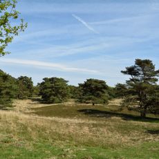
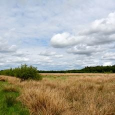
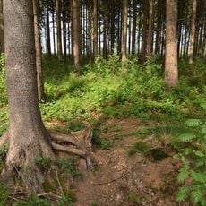
The streets are peaceful and easy to explore on foot, with key sites like the church and market square centrally located. The flat landscape is excellent for cycling and walking through the woods and along the Stör River.
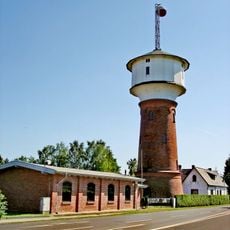
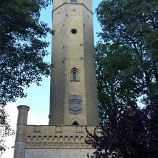
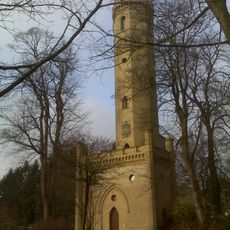
The Luisenberger Turm, built in 1858, offers views of the surrounding fields and was named after a nearby manor house. The old town hall has an unusual detail: the lions in the coat of arms face the opposite direction from normal.
The community of curious travelers
AroundUs brings together thousands of curated places, local tips, and hidden gems, enriched daily by 60,000 contributors worldwide.