
Helmstadt, market municipality in Bavaria, Germany
Location: Würzburg
Elevation above the sea: 301 m
Part of: Helmstadt
Shares border with: Holzkirchen, Uettingen, Waldbüttelbrunn, Irtenberger Wald, Altertheim, Neubrunn, Wertheim
Website: http://helmstadt-ufr.de
GPS coordinates: 49.76667,9.71667
Latest update: March 12, 2025 12:37

Kloster Holzkirchen
3 km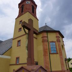
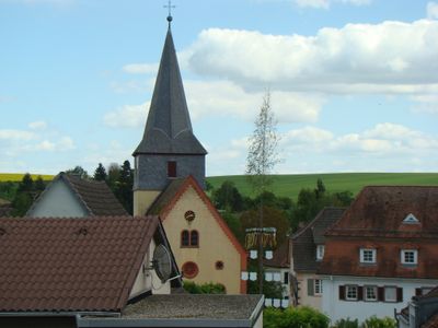
Kirche
669 m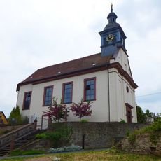
Kuratiekirche
3.6 km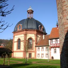
Kirche
3.1 km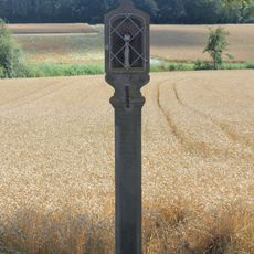
Bildstock
2.1 km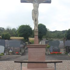
Friedhof
459 m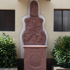
Prozessionsaltar
3.2 km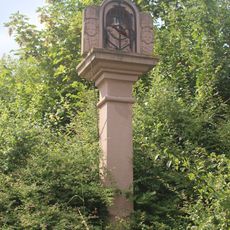
Bildstock
621 m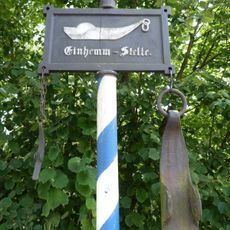
Verkehrsschild
3 km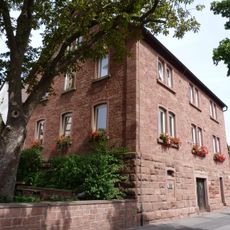
Rathaus
3.1 km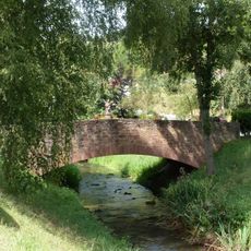
Brücke
3 km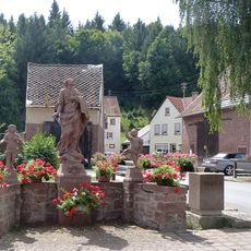
Mariensäule
3.1 km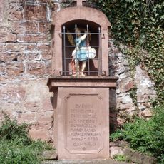
Bildnische
3.1 km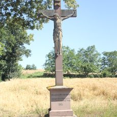
Wegkreuz
774 m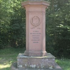
Denkmal
2.7 km
Bildstock
1.3 km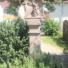
Bildstock
1 km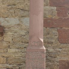
Bildstock
892 m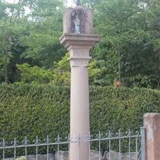
Bildstock
1 km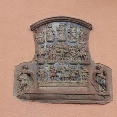
Relief
938 m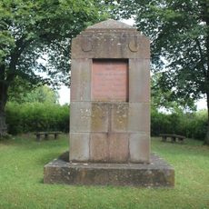
Denkmal
740 m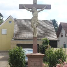
Wegkreuz
853 m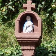
Bildstock
3.1 km
Bildstock
1 km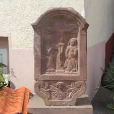
Bildstockaufsatz
777 m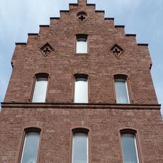
Pfarrhaus
3.1 km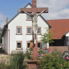
Wegkreuz
777 m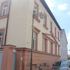
Pfarrhaus
771 mReviews
Visited this place? Tap the stars to rate it and share your experience / photos with the community! Try now! You can cancel it anytime.
Discover hidden gems everywhere you go!
From secret cafés to breathtaking viewpoints, skip the crowded tourist spots and find places that match your style. Our app makes it easy with voice search, smart filtering, route optimization, and insider tips from travelers worldwide. Download now for the complete mobile experience.

A unique approach to discovering new places❞
— Le Figaro
All the places worth exploring❞
— France Info
A tailor-made excursion in just a few clicks❞
— 20 Minutes