Monheim, municipality in Bavaria, Germany
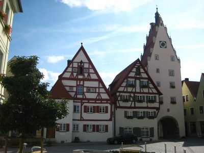
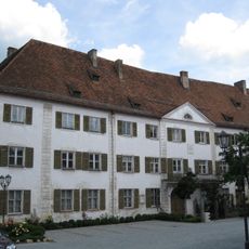
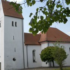
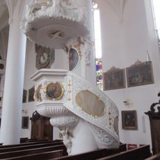
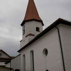
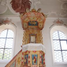
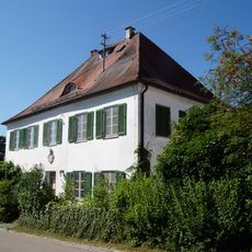
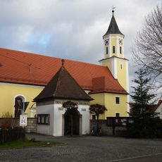
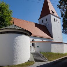
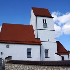
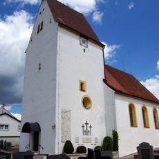
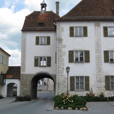
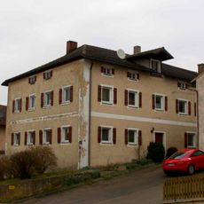
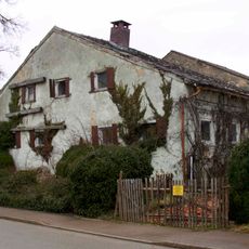
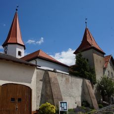
Monheim is a small town in the Donau-Ries region with a long past and buildings in traditional style. The old town features timber-framed houses with wooden details, impressive civic buildings with restored facades, and a market square with a historic town hall that has decorated ceilings with detailed plasterwork.
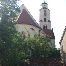
The town traces back to Roman times when an important road ran through the area and people traveled this route for centuries. It also has a connection to Martin Luther, who passed through during his escape, and holds relics of Saint Walburga, which emphasizes its religious importance throughout history.
Monheim sits where Swabia, Franconia, and Altbayern meet, and this blend of regions shows in the different dialects and customs you hear from locals. Walking through the town, you can notice how the traditional timber-framed houses and the market square reflect these mixed cultural influences.
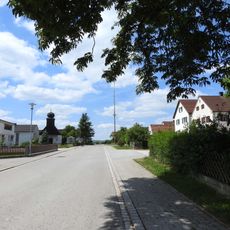
The town is easy to reach from the cities of Nuremberg and Augsburg and works well for a day trip or a quiet stay away from busy places. Visitors can explore on foot and follow signs made of local limestone that point toward the main sights.
Storks once lived in Monheim and disappeared around the time of the First World War, but in recent years they have returned to nest on the town's roofs. Visitors can now watch these large birds and experience an unexpected sign of nature reclaiming the historic town.
The community of curious travelers
AroundUs brings together thousands of curated places, local tips, and hidden gems, enriched daily by 60,000 contributors worldwide.