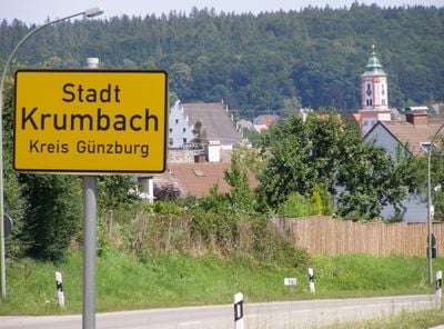
Krumbach, Urban municipality in Günzburg district, Germany.
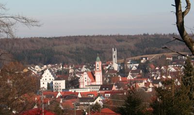
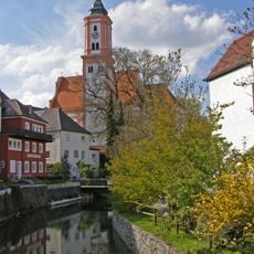
Krumbach is a town in Günzburg district in Bavaria and sits along the Kammel river at an elevation of 512 meters. The surrounding area combines forested hills with farmland and small villages along the river course.
The settlement received market rights in 1370 and belonged to the Margraviate of Burgau from 1305 onward. After passing to Bavaria in 1805, the town developed into a regional trading center.
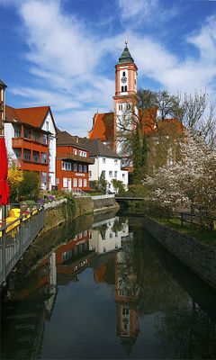
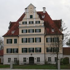
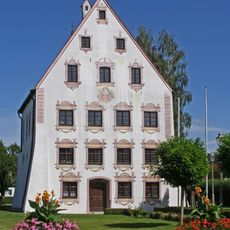
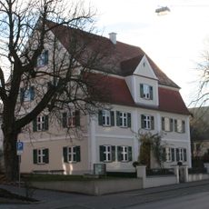
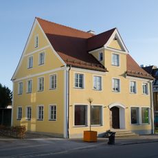
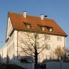
The Middleswabian local heritage museum displays collections about regional history and everyday life across several centuries. The marketplace preserves the typical architecture of small Bavarian towns with multi-story gabled houses and wide sidewalks.
Two federal highways connect the town to the main transport routes in the region and allow travel toward Ulm and Augsburg. The Mittelschwaben Railway runs regularly and stops at the local station in the center.
The Breitenthal Speedway Stadium hosted several qualifying rounds for the Speedway World Team Cup between 1973 and 1981. These motorsport events drew riders and spectators from across Europe.
Location: Günzburg
Elevation above the sea: 512 m
Shares border with: Neuburg an der Kammel, Ursberg, Winzerwald, Aletshausen, Waltenhausen, Ebershauser-Nattenhauser Wald, Ebershausen, Breitenthal, Deisenhausen
Website: https://krumbach.de
GPS coordinates: 48.24306,10.36310
Latest update: December 5, 2025 16:37
Krumbad
2.1 km
St Michael Krumbach
161 m
Schloss Niederraunau
2.5 km
Hürbener Wasserschloss (Krumbach)
332 m
Lindlkirche Krumbach
676 m
Maria-Hilf-Kirche
714 m
Mittelschwäbisches Heimatmuseum
510 m
St. Ulrich
587 m
Mühlkapelle
305 m
Lexenrieder Kapelle
2.1 km
Friedhofskapelle
444 m
St. Leonhard
3.7 km
St. Thomas von Canterbury
4.1 km
Ecce-Homo-Kapelle
2.7 km
Friedhofskapelle St. Georg
3.6 km
Kirchenstraße 16 (Krumbach)
132 m
Kapelle Herz Jesu
3 km
Kapelle St. Maria
4.9 km
Wohnhaus, sogenanntes Rixner-Haus
531 m
Karl-Mantel-Straße 52
425 m
Synagoge (Hürben)
443 m
Heinrich-Sinz-Straße 5
502 m
Doppelhaus
484 m
Kapelle Zu den Vierzehn Nothelfern (Oberrohr)
5.5 km
Rathaus
2.4 km
St. Pankratius
6.5 km
Kapelle Sankt Michael
6.3 km
Kapelle St. Felicitas
2.1 kmVisited this place? Tap the stars to rate it and share your experience / photos with the community! Try now! You can cancel it anytime.
Discover hidden gems everywhere you go!
From secret cafés to breathtaking viewpoints, skip the crowded tourist spots and find places that match your style. Our app makes it easy with voice search, smart filtering, route optimization, and insider tips from travelers worldwide. Download now for the complete mobile experience.
A unique approach to discovering new places❞
— Le Figaro
All the places worth exploring❞
— France Info
A tailor-made excursion in just a few clicks❞
— 20 Minutes