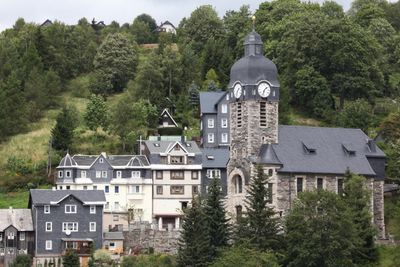
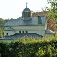
Lauscha, Glass manufacturing town in Thuringia, Germany
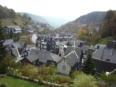
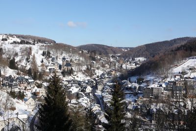
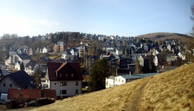
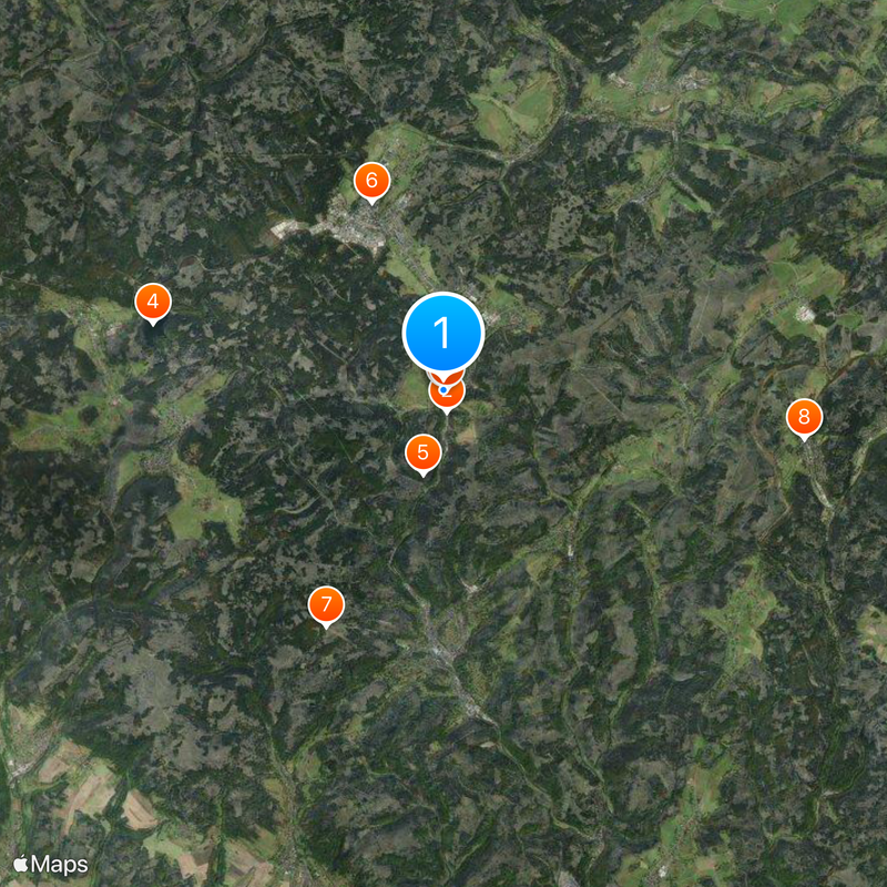
Lauscha is a municipality situated in a narrow valley of the Thuringian Highland at about 625 meters elevation, encircled by mountains reaching up to 835 meters high. The town developed along a stream that has powered glass production for centuries.
The first recorded mention of the place dates back to 1366 when the stream was noted as a source of water for glassmaking. This marked the beginning of an industrial craft that would shape the community for centuries to come.
Glassblowing families here craft ornamental decorations using techniques learned from previous generations. This craft tradition shapes how locals view their town and connects people across different age groups.
Town services can be found at the municipal office on Bahnhofstr 1, open weekdays with extended evening hours on Thursdays. The valley location means most paths slope uphill or downhill, so expect some walking on grades when exploring the place.
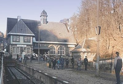
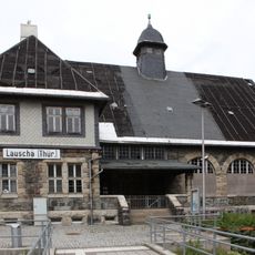
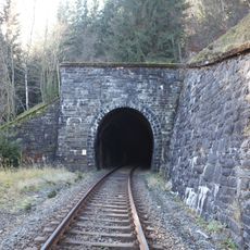
When the railway was built in the early 1900s, the local river had to be channeled underground to make room for the tracks. This hidden waterway still runs beneath the town and reminds visitors how much infrastructure once reshaped daily life.
The community of curious travelers
AroundUs brings together thousands of curated places, local tips, and hidden gems, enriched daily by 60,000 contributors worldwide.