
Büchenbach, municipality of Germany
Location: Roth
Elevation above the sea: 366 m
Website: http://buechenbach.de
GPS coordinates: 49.26667,11.06667
Latest update: March 7, 2025 10:43
Heidenberg
6.2 km
St. George (Kammerstein)
7.4 km
St. Willibald
941 m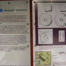
Burgstall Osterwiese
3.9 km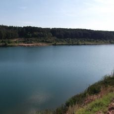
Baggerweiher zwischen Bechhofen und Gauchsdorf
5.2 km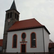
Heidenbergstrasse 13 Pfarrkirche St Ottilia
755 m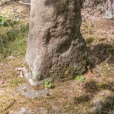
Herzog-Ernst-Kreuz
5.3 km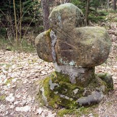
Fuhrmannskreuz bei Ungerthal
3.9 km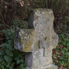
Metzgerkreuz bei Rednitzhembach
3 km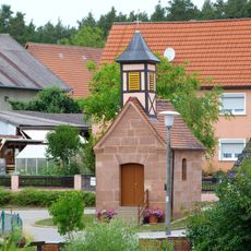
Katholische Ortskapelle Bechhofen
6.2 km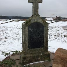
Steinkreuz bei Aurau
3.7 km
Ehemaliger Steinbruch NE von Kühedorf
3.2 km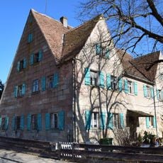
Bauernhaus
3.7 km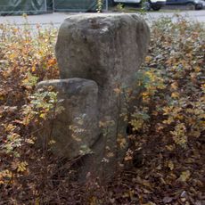
Steinkreuz in Pfaffenhofen
911 m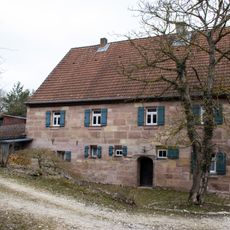
Bauernhaus in Ungerthal
4.6 km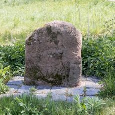
Kreuzstein bei Abenberg
6.9 km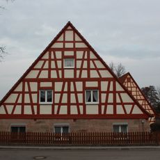
Heidenbergstrasse 8
794 m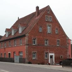
Äußere Nürnberger Straße 9
894 m
Bauernhaus
4.6 km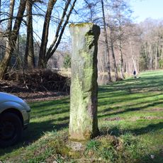
Martersäule
4.3 km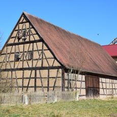
Scheune
3.6 km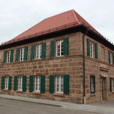
Heidenbergstrasse 10
781 m
Bauernhof Ungerthaler Straße 1
3.7 km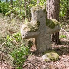
Steinkreuz nördlich von Pfaffenhofen
1.6 km
Austragshaus Ungerthaler Straße 1 in Büchenbach
3.7 km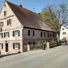
Bauernhaus
3.5 km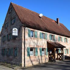
Gasthaus
4.6 km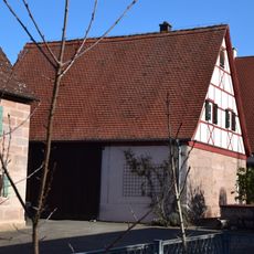
Scheune Am Moosgarten 3 a in Büchenbach
4.6 kmVisited this place? Tap the stars to rate it and share your experience / photos with the community! Try now! You can cancel it anytime.
Discover hidden gems everywhere you go!
From secret cafés to breathtaking viewpoints, skip the crowded tourist spots and find places that match your style. Our app makes it easy with voice search, smart filtering, route optimization, and insider tips from travelers worldwide. Download now for the complete mobile experience.

A unique approach to discovering new places❞
— Le Figaro
All the places worth exploring❞
— France Info
A tailor-made excursion in just a few clicks❞
— 20 Minutes