
Bieberehren, municipality in district Würzburg, Bavaria, Germany
Location: Würzburg
Elevation above the sea: 248 m
Part of: Verwaltungsgemeinschaft Röttingen
Shares border with: Röttingen, Aub, Creglingen
Website: http://bieberehren.de
GPS coordinates: 49.51556,10.00778
Latest update: March 3, 2025 18:51

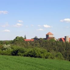
Burg Brauneck
3.4 km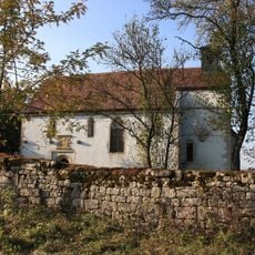
Kapelle
2.4 km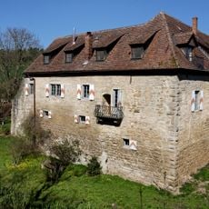
Geyer-Schloss Reinsbronn
3.1 km
Brauneck
3.5 km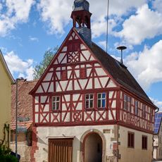
Rathaus
15 m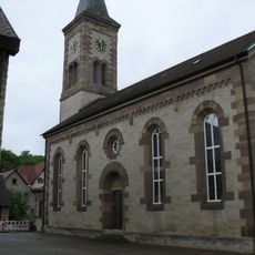
Evangelische Kirche
3.2 km
St. Peter und Paul
99 m
Kuratiekirche
2.2 km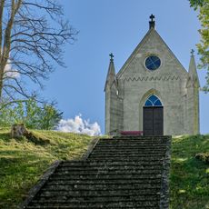
Kreuzkapelle
631 m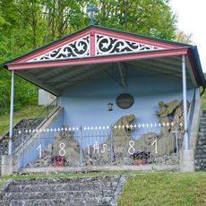
Ölbergkapelle
421 m
Ausstattung
95 m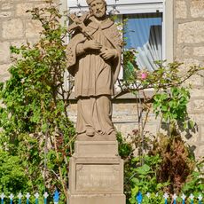
St. Nepomuk-Statue
144 m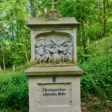
Kreuzwegstation
460 m
Kreuzwegstation
570 m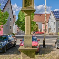
Bildstock
156 m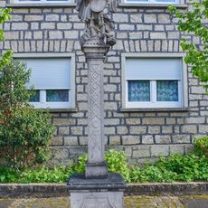
Bildstock
88 m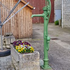
Pumpbrunnen
105 m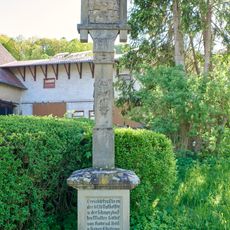
Bildstock
369 m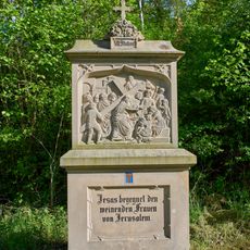
Kreuzwegstation
512 m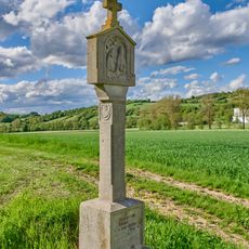
Bildstock
446 m
Pumpbrunnen
64 m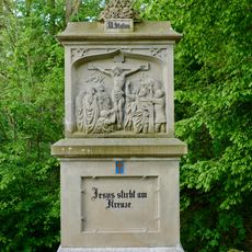
Kreuzwegstation
567 m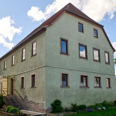
Wohnhaus
115 m
Kreuzwegstation
543 m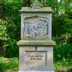
Kreuzwegstation
595 m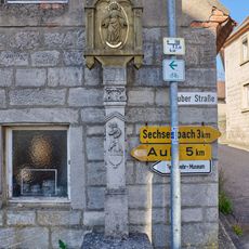
Bildstock
2.2 km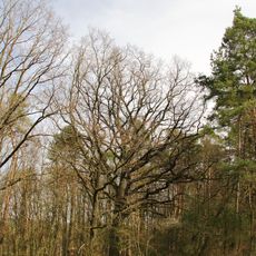
Eiche Bergbrunnen
3.5 km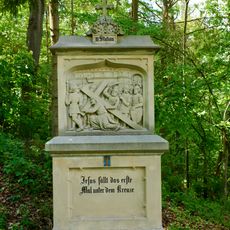
Kreuzwegstation
457 mReviews
Visited this place? Tap the stars to rate it and share your experience / photos with the community! Try now! You can cancel it anytime.
Discover hidden gems everywhere you go!
From secret cafés to breathtaking viewpoints, skip the crowded tourist spots and find places that match your style. Our app makes it easy with voice search, smart filtering, route optimization, and insider tips from travelers worldwide. Download now for the complete mobile experience.

A unique approach to discovering new places❞
— Le Figaro
All the places worth exploring❞
— France Info
A tailor-made excursion in just a few clicks❞
— 20 Minutes