
Trebgast, municipality of Germany
Location: Kulmbach
Elevation above the sea: 361 m
Part of: Verwaltungsgemeinschaft Trebgast
Website: https://trebgast.de
GPS coordinates: 50.06667,11.55000
Latest update: March 23, 2025 01:48

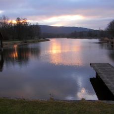
Trebgaster Badesee
1.4 km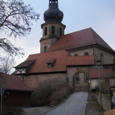
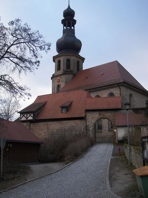
St. John the Baptist (Trebgast)
458 m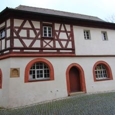
Beinhaus
475 m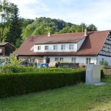
Wohnstallhaus
1.6 km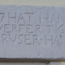
Inschrift
496 m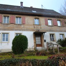
Cultural heritage D-4-77-158-9 in Trebgast
495 m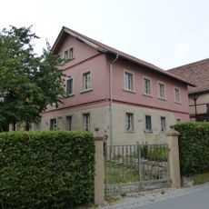
Cultural heritage D-4-77-158-25 in Trebgast
2.9 km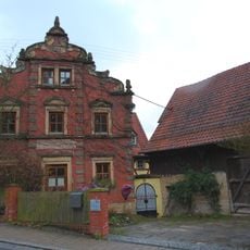
Bauernhof
474 m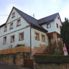
Wohnhaus
527 m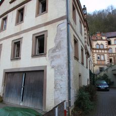
Försterhaus
253 m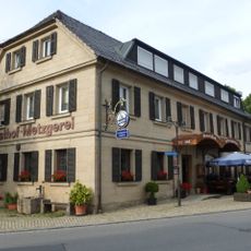
Cultural heritage D-4-77-158-12 in Trebgast
249 m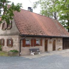
Cultural heritage D-4-77-158-24 in Trebgast
2.8 km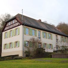
Kantorhaus
442 m
Baudenkmal
3.1 km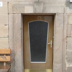
Baudenkmal
3 km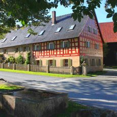
Vierseithof
1.8 km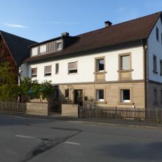
Wohnstallhaus
1.7 km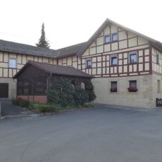
Wohnstallhaus
1.7 km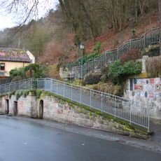
Baudenkmal
346 m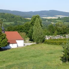
Friedhofsmauer
610 m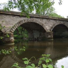
Bahnbrücke
1.7 km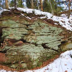
Steinerner Vogelherd NE von Leuchau
4.5 km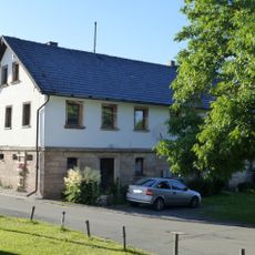
Cultural heritage D-4-77-127-15 in Ködnitz
3.5 km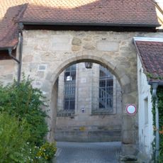
Grabstätten
453 m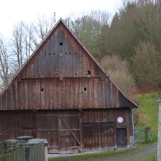
Scheune
419 m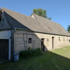
Nebengebäude
3.4 km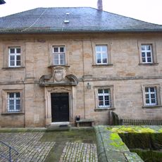
Pfarrhaus
445 m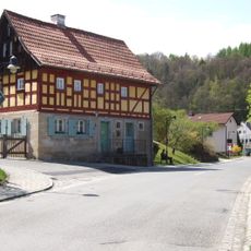
Cultural heritage D-4-77-158-4 in Trebgast
282 mVisited this place? Tap the stars to rate it and share your experience / photos with the community! Try now! You can cancel it anytime.
Discover hidden gems everywhere you go!
From secret cafés to breathtaking viewpoints, skip the crowded tourist spots and find places that match your style. Our app makes it easy with voice search, smart filtering, route optimization, and insider tips from travelers worldwide. Download now for the complete mobile experience.

A unique approach to discovering new places❞
— Le Figaro
All the places worth exploring❞
— France Info
A tailor-made excursion in just a few clicks❞
— 20 Minutes