
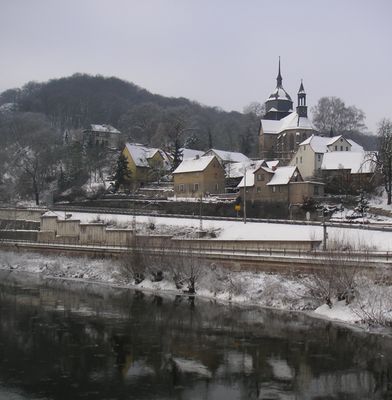
Rügland, municipality of Germany
Location: Ansbach
Elevation above the sea: 393 m
Part of: Verwaltungsgemeinschaft Weihenzell
Shares border with: Obernzenn, Dietenhofen, Weihenzell
Website: https://ruegland.de
GPS coordinates: 49.40000,10.59167
Latest update: March 19, 2025 16:35
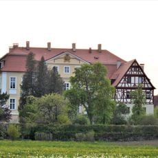
Schloss Rügland
341 m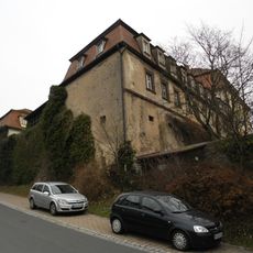
Schloss Trautskirchen
6.5 km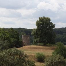
Ruine Rosenberg
415 m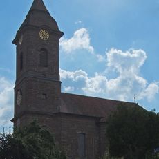
Mariä Himmelfahrt
6.7 km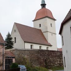
St. Jakob
5.1 km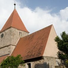
St. Maria und St. Georg
4.8 km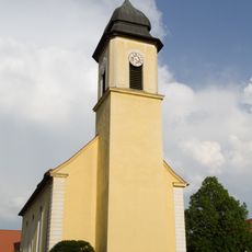
St. Margarethen
394 m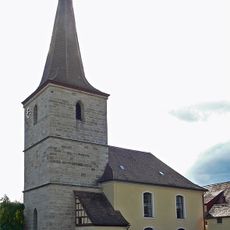
St. Bartholomäus
2.5 km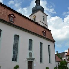
St. Laurentius
6.3 km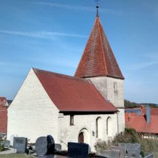
St. Leonhard
2.7 km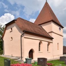
St. Martin
2.8 km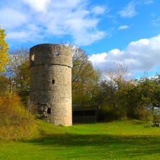
Ruine Rosenberg
396 m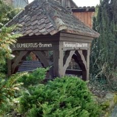
Sogenannter Gumbertusbrunnen
2.6 km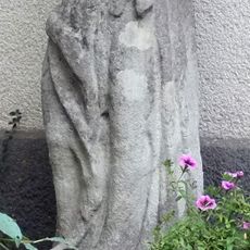
St. Josef
6.7 km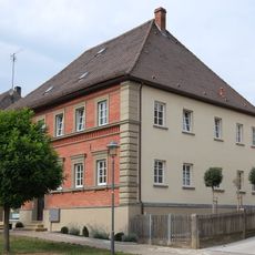
Goldenes Lamm
5.7 km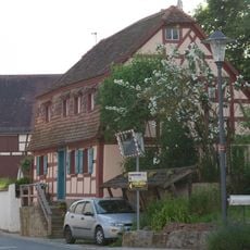
Wohnhaus
584 m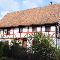
Ehemalige Öhlmühle
6.8 km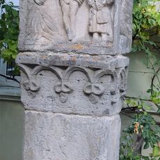
Bildstock
6.3 km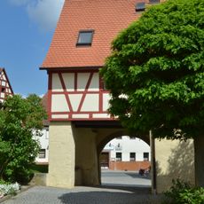
Torhaus
6.3 km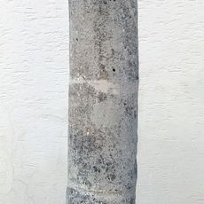
Martersäule
6.4 km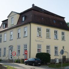
Ehemaliges Ritterhaus
448 m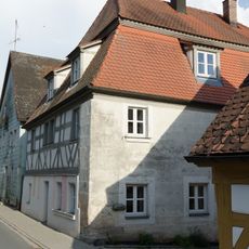
Wohnhaus
499 m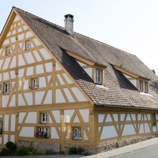
Ehemaliges Wohnstallhaus
519 m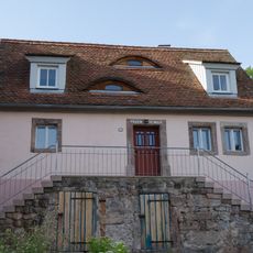
Ehemaliges Kleinbauernhaus
519 m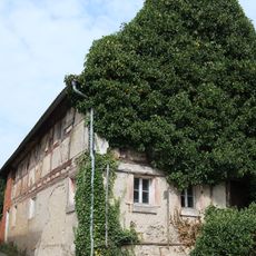
Ehemaliger Kleinbauernhof
5.6 km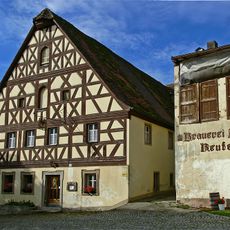
Gasthaus
2.4 km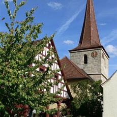
Ehemalige Schmiede
2.5 km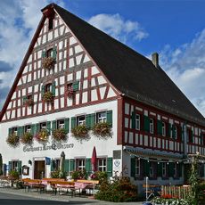
Gasthaus
2.5 kmVisited this place? Tap the stars to rate it and share your experience / photos with the community! Try now! You can cancel it anytime.
Discover hidden gems everywhere you go!
From secret cafés to breathtaking viewpoints, skip the crowded tourist spots and find places that match your style. Our app makes it easy with voice search, smart filtering, route optimization, and insider tips from travelers worldwide. Download now for the complete mobile experience.

A unique approach to discovering new places❞
— Le Figaro
All the places worth exploring❞
— France Info
A tailor-made excursion in just a few clicks❞
— 20 Minutes